UN/LOCODE hub · United States
USOMV
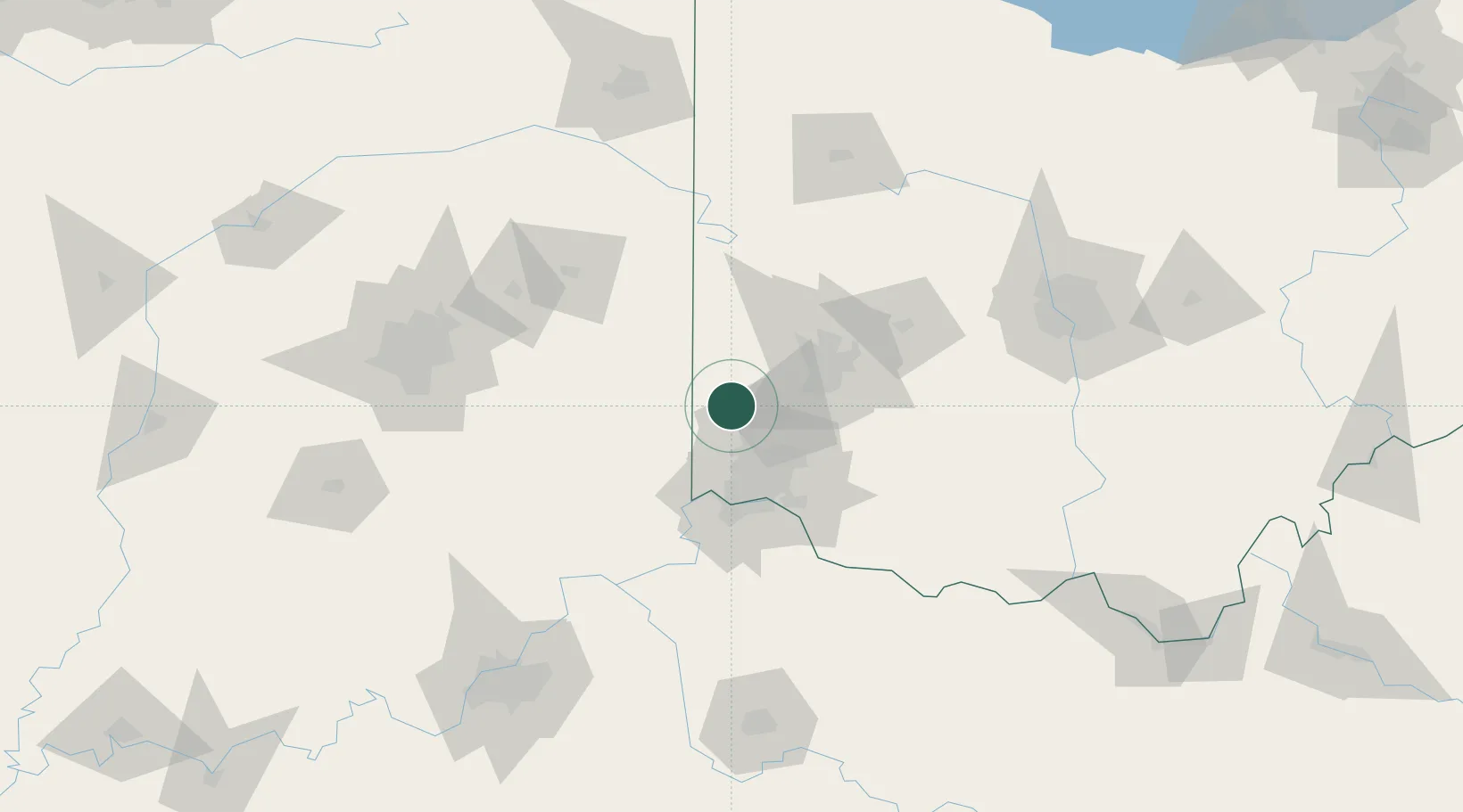
Somerville
39.5500°, -84.6333°
286
Population
3
Transport functions
Transport Functions
Rail
Road
Multimodal
Hub Profile
Place type
Populated place
Region
Ohio
Population
286
Time zone
America/New_York
Elevation
235 m
Location
Nearby Logistics Neighbours
Cities
- 1New Miami15 km
- 2West College Corner16 km
- 3Trenton16 km
- 4Mayfield, Butler24 km
- 5Germantown24 km
Ports
- 1Toledo259 km
- 2Port Clinton262 km
- 3Sandusky266 km
- 4Huron271 km
- 5Put In Bay279 km
Airports
Trade Zones
- 1FTZ No. 100 Dayton41 km
- 2FTZ No. 046 CIncinnati51 km
- 3FTZ No. 047 Boone County69 km
- 4FTZ No. 054 Clinton County74 km
- 5FTZ No. 072 Indianapolis145 km
DatabookThe Record of Consolidated Knowledge
United States beyond logistics?