Transport Functions
Port
Road
Hub Profile
Place type
Populated place
Region
California
Time zone
America/Los_Angeles
Elevation
66 m
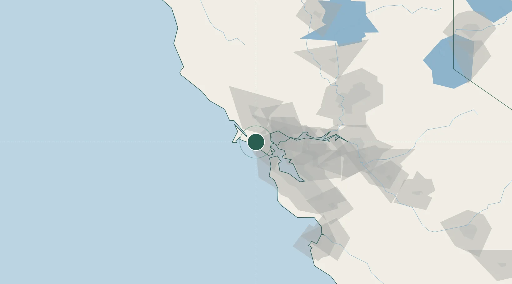
Location
Nearby Logistics Neighbours
Cities
- 1Woodacre6 km
- 2Bolinas11 km
- 3Point Reyes Station12 km
- 4Inverness17 km
- 5Greenbrae18 km
Ports
- 1Point San Pablo24 km
- 2Sausalito25 km
- 3Pinole Point29 km
- 4Point Richmond31 km
- 5San Francisco32 km
Airports
Trade Zones
- 1FTZ No. 003 San Francisco35 km
- 2FTZ No. 056 Oakland43 km
- 3FTZ No. 018 San Jose103 km
- 4FTZ No. 231 Stockton121 km
- 5FTZ No. 143 West Sacramento121 km
DatabookThe Record of Consolidated Knowledge
United States beyond logistics?