UN/LOCODE hub · United States
USB27
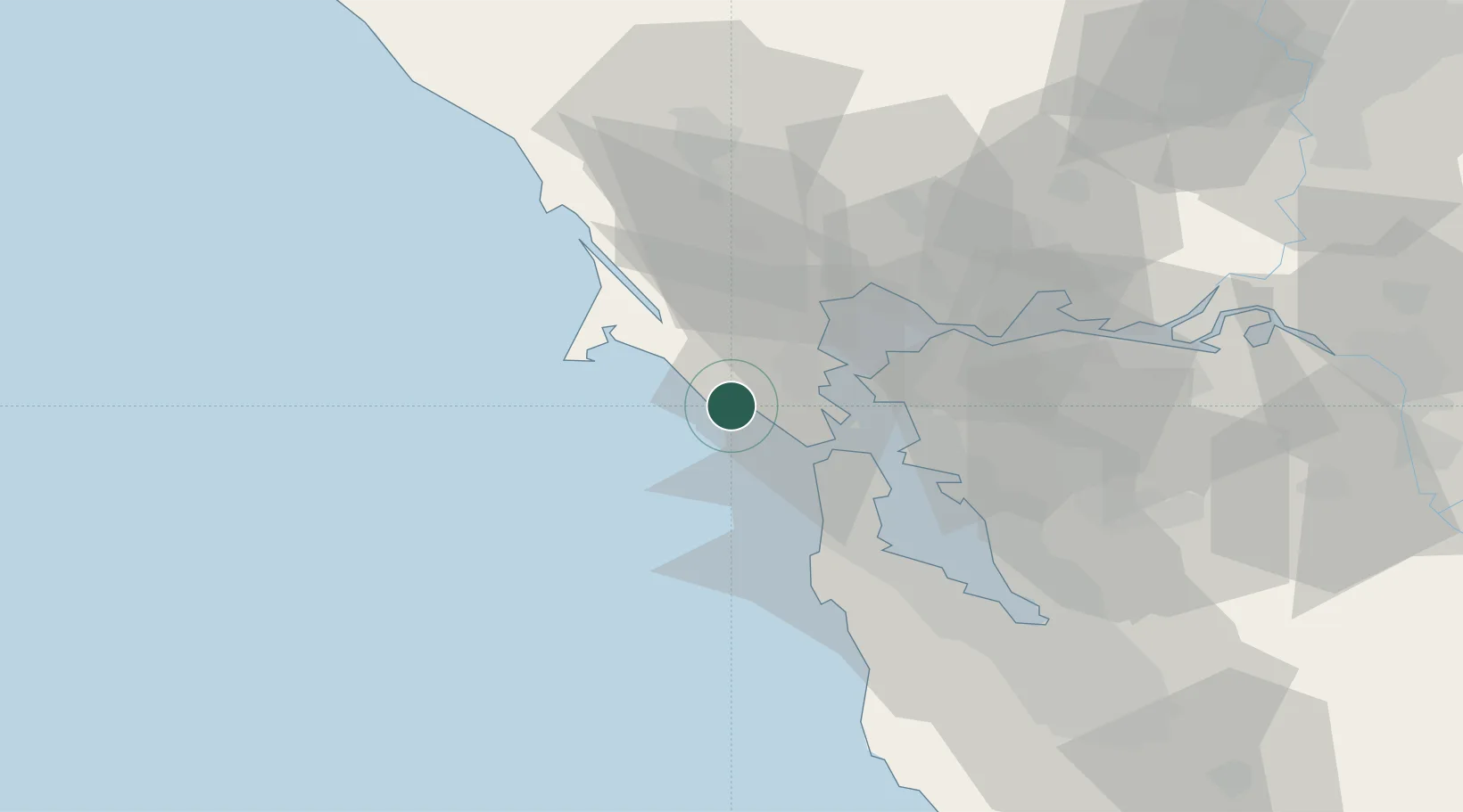
Bolinas
37.9000°, -122.6833°
1,620
Population
2
Transport functions
Transport Functions
Port
Road
Hub Profile
Place type
Populated place
Region
California
Population
1,620
Time zone
America/Los_Angeles
Elevation
11 m
Location
Nearby Logistics Neighbours
Cities
- 1Lagunitas11 km
- 2Woodacre12 km
- 3Greenbrae15 km
- 4Tiburon21 km
- 5Point Reyes Station21 km
Ports
- 1Sausalito18 km
- 2Point San Pablo23 km
- 3San Francisco25 km
- 4Point Richmond28 km
- 5Pinole Point31 km
Airports
Trade Zones
- 1FTZ No. 003 San Francisco28 km
- 2FTZ No. 056 Oakland38 km
- 3FTZ No. 018 San Jose94 km
- 4FTZ No. 231 Stockton119 km
- 5FTZ No. 143 West Sacramento127 km
DatabookThe Record of Consolidated Knowledge
United States beyond logistics?