UN/LOCODE hub · United States
US9IU
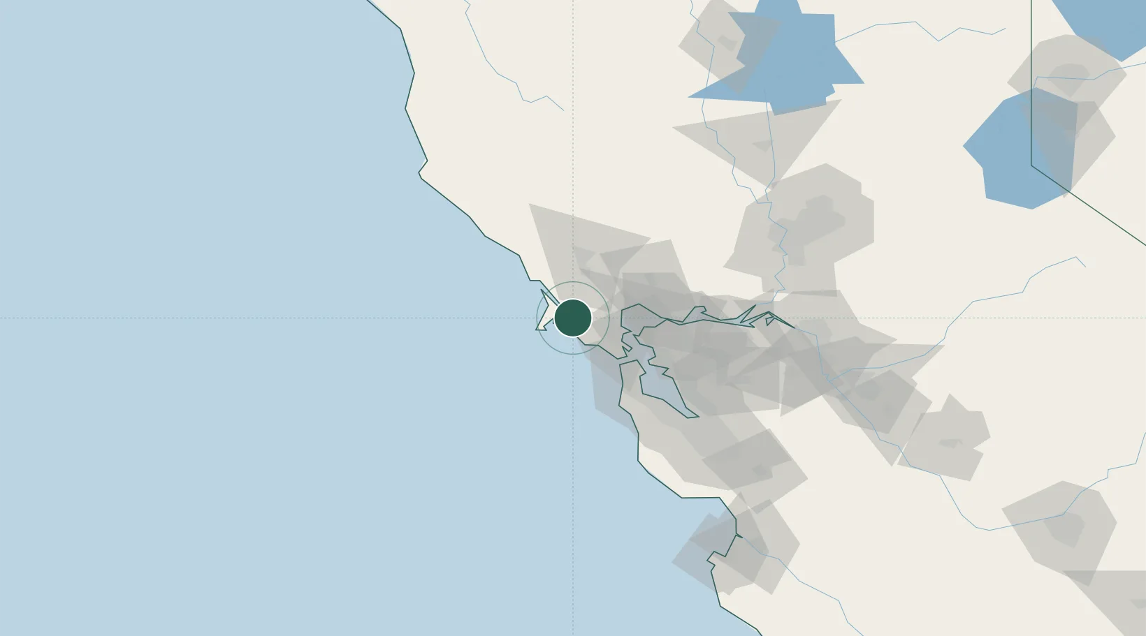
Point Reyes Station
38.0667°, -122.8000°
848
Population
2
Transport functions
Transport Functions
Port
Road
Hub Profile
Place type
Populated place
Region
California
Population
848
Time zone
America/Los_Angeles
Elevation
12 m
Location
Nearby Logistics Neighbours
Ports
- 1Point San Pablo34 km
- 2Sausalito37 km
- 3Bodega Bay37 km
- 4Pinole Point38 km
- 5Point Richmond42 km
Airports
Trade Zones
- 1FTZ No. 003 San Francisco47 km
- 2FTZ No. 056 Oakland55 km
- 3FTZ No. 018 San Jose114 km
- 4FTZ No. 143 West Sacramento125 km
- 5FTZ No. 231 Stockton130 km
DatabookThe Record of Consolidated Knowledge
United States beyond logistics?