Transport Functions
Road
Multimodal
Hub Profile
Place type
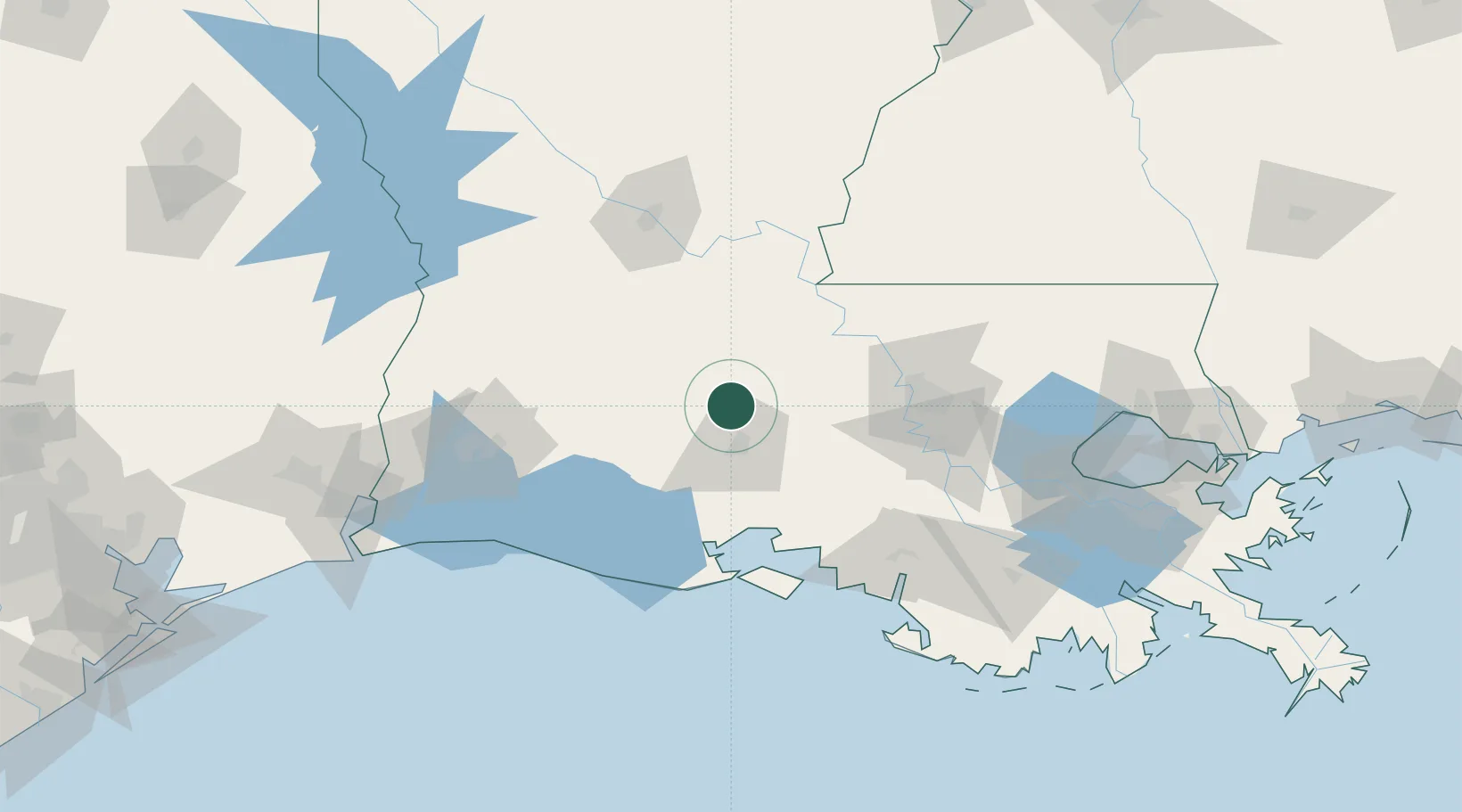
Populated place
Region
Louisiana
Population
2,967
Time zone
America/Chicago
Elevation
14 m
Location
Nearby Logistics Neighbours
Cities
- 1Grand Coteau3 km
- 2Carencro10 km
- 3Church Point13 km
- 4Arnaudville15 km
- 5Krotz Springs33 km
Ports
- 1Baton Rouge85 km
- 2Morgan City114 km
- 3Lake Charles116 km
- 4Convent127 km
- 5St. James129 km
Airports
Trade Zones
DatabookThe Record of Consolidated Knowledge
United States beyond logistics?