UN/LOCODE hub · United States
USG2U
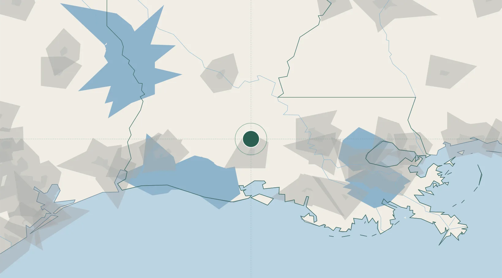
Grand Coteau
30.4167°, -92.0333°
938
Population
1
Transport functions
Transport Functions
Multimodal
Hub Profile
Place type
Populated place
Region
Louisiana
Population
938
Time zone
America/Chicago
Elevation
16 m
Location
Nearby Logistics Neighbours
Cities
- 1Sunset3 km
- 2Carencro10 km
- 3Arnaudville11 km
- 4Church Point16 km
- 5Krotz Springs30 km
Ports
- 1Baton Rouge82 km
- 2Morgan City112 km
- 3Lake Charles119 km
- 4Convent124 km
- 5St. James126 km
Airports
Trade Zones
DatabookThe Record of Consolidated Knowledge
United States beyond logistics?