UN/LOCODE hub · United States
USRCO
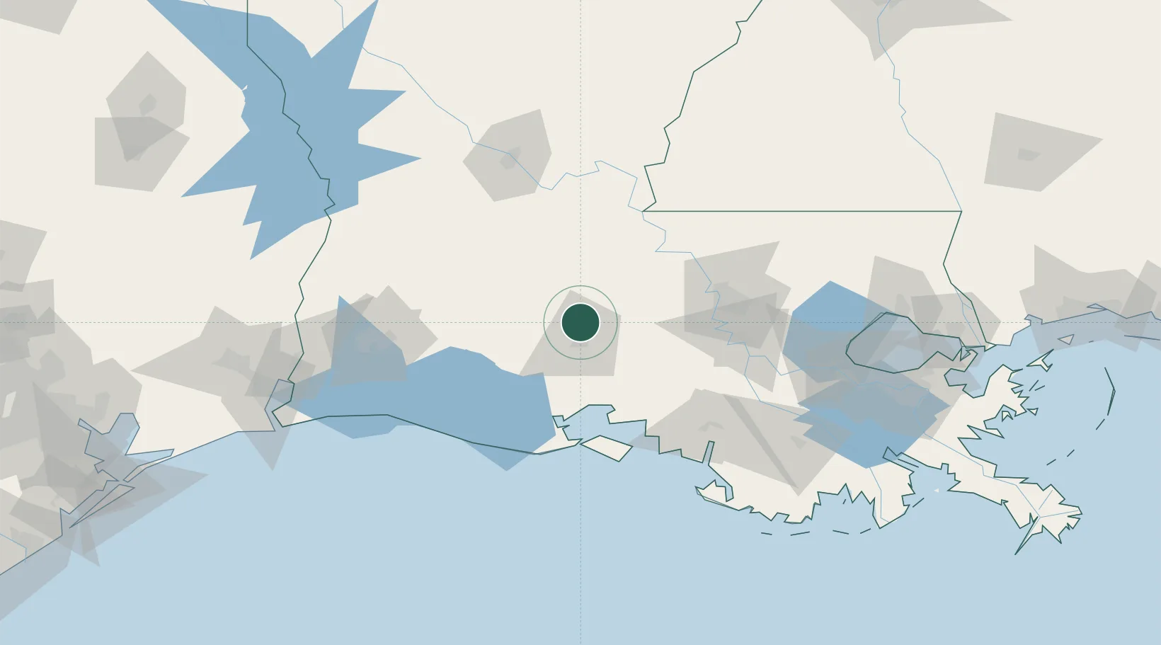
Carencro
30.3294°, -92.0337°
8,575
Population
2
Transport functions
Transport Functions
Rail
Road
Hub Profile
Place type
Populated place
Region
Louisiana
Population
8,575
Time zone
America/Chicago
Elevation
12 m
Logistics facilities
1
Location
Nearby Logistics Neighbours
Cities
- 1Grand Coteau10 km
- 2Sunset10 km
- 3Arnaudville14 km
- 4Church Point18 km
- 5Broussard, Lafayette23 km
Ports
- 1Baton Rouge83 km
- 2Morgan City105 km
- 3Lake Charles118 km
- 4Convent121 km
- 5St. James122 km
Airports
Trade Zones
DatabookThe Record of Consolidated Knowledge
United States beyond logistics?