Transport Functions
Port
Rail
Road
Multimodal
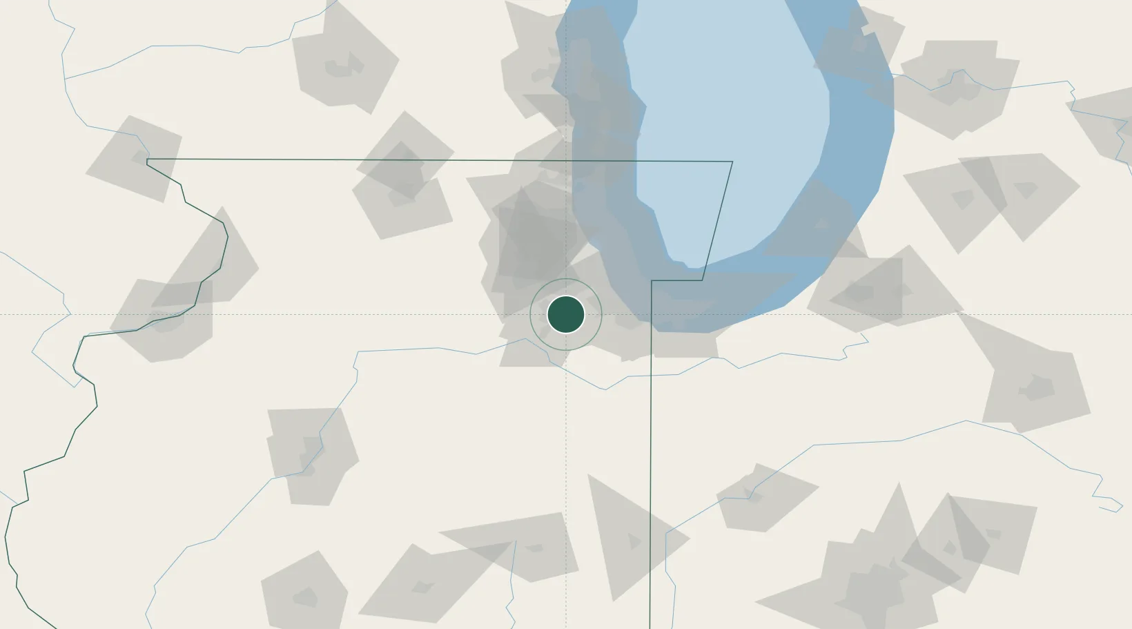
Hub Profile
Region
IL
Location
Nearby Logistics Neighbours
Cities
- 1Crest Hill4 km
- 2New Lenox7 km
- 3Millsdale15 km
- 4Frankfort18 km
- 5Mokena19 km
Ports
- 1Calumet Harbor49 km
- 2Chicago53 km
- 3Indiana Harbor53 km
- 4Gary60 km
- 5Wilmette67 km
Airports
Trade Zones
- 1FTZ No. 022 Chicago35 km
- 2FTZ No. 152 Burns Harbor75 km
- 3FTZ No. 292 Lake County87 km
- 4FTZ No. 176 Rockford124 km
- 5FTZ No. 125 South Bend142 km
DatabookThe Record of Consolidated Knowledge
United States beyond logistics?