Transport Functions
Port
Rail
Road
Multimodal
Hub Profile
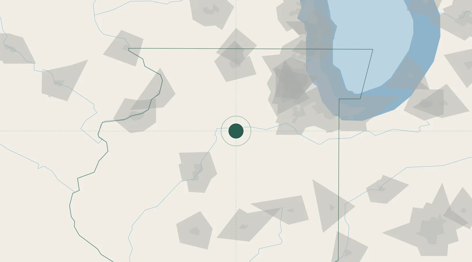
Place type
Populated place
Region
Illinois
Population
3,647
Time zone
America/Chicago
Elevation
192 m
Location
Nearby Logistics Neighbours
Cities
- 1Tonica9 km
- 2Granville14 km
- 3Mark17 km
- 4Troy Grove19 km
- 5Depue21 km
Ports
- 1Calumet Harbor137 km
- 2Chicago138 km
- 3Indiana Harbor141 km
- 4Wilmette144 km
- 5Gary148 km
Airports
Trade Zones
- 1FTZ No. 114 Peoria80 km
- 2FTZ No. 176 Rockford109 km
- 3FTZ No. 022 Chicago116 km
- 4FTZ No. 292 Lake County150 km
- 5FTZ No. 271 Jo-Daviess and Carroll Counties151 km
DatabookThe Record of Consolidated Knowledge
United States beyond logistics?