UN/LOCODE hub · United States
USTYG
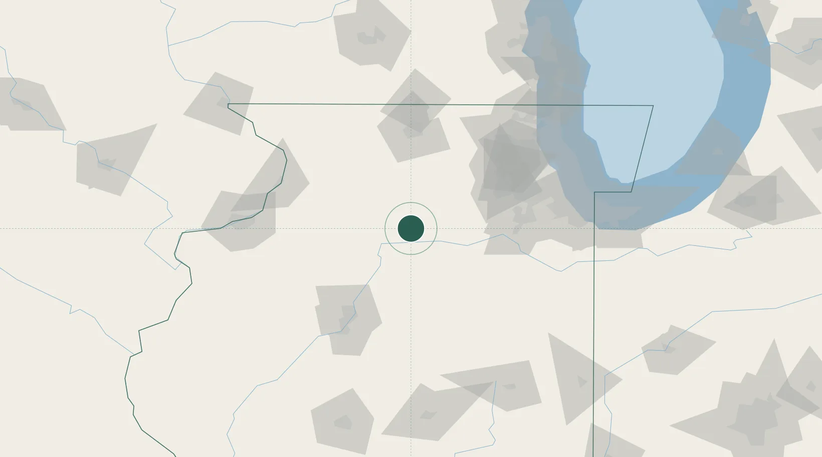
Troy Grove
41.4500°, -89.0833°
243
Population
2
Transport functions
Transport Functions
Road
Multimodal
Hub Profile
Place type
Populated place
Region
Illinois
Population
243
Time zone
America/Chicago
Elevation
205 m
Location
Nearby Logistics Neighbours
Ports
- 1Chicago132 km
- 2Calumet Harbor134 km
- 3Wilmette136 km
- 4Indiana Harbor139 km
- 5Great Lakes140 km
Airports
Trade Zones
- 1FTZ No. 176 Rockford90 km
- 2FTZ No. 114 Peoria94 km
- 3FTZ No. 022 Chicago109 km
- 4FTZ No. 271 Jo-Daviess and Carroll Counties136 km
- 5FTZ No. 292 Lake County138 km
DatabookThe Record of Consolidated Knowledge
United States beyond logistics?