Transport Functions
Port
Rail
Road
Hub Profile
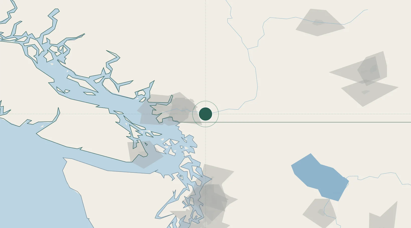
Place type
Populated place
Region
British Columbia
Population
33,261
Time zone
America/Vancouver
Elevation
8 m
Location
Nearby Logistics Neighbours
Cities
- 1Yarrow19 km
- 2Fort Langley20 km
- 3Langley20 km
- 4Nooksack22 km
- 5Milner23 km
Ports
- 1Port Coquitlam36 km
- 2Blaine36 km
- 3Fraser Mills42 km
- 4Cherry Point44 km
- 5Bellingham45 km
Airports
Trade Zones
- 1FTZ No. 128 Whatcom County40 km
- 2FTZ No. 129 Bellingham46 km
- 3FTZ Vancouver Island61 km
- 4FTZ No. 085 Everett126 km
- 5FTZ No. 005 Seattle170 km
DatabookThe Record of Consolidated Knowledge
Canada beyond logistics?