UN/LOCODE hub · United States
USKAY
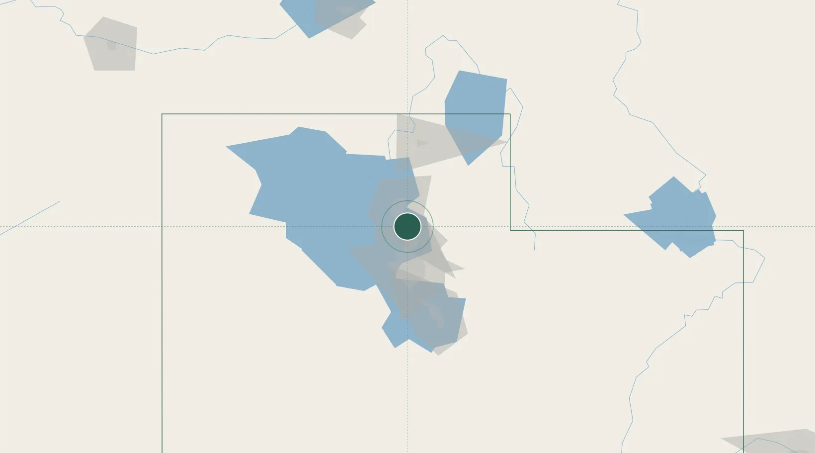
Kaysville
41.0333°, -111.9333°
30,472
Population
4
Transport functions
Transport Functions
Port
Rail
Road
Multimodal
Hub Profile
Place type
Populated place
Region
Utah
Population
30,472
Time zone
America/Denver
Elevation
1,328 m
Location
Nearby Logistics Neighbours
Cities
- 1Layton5 km
- 2Hill Air Force Base10 km
- 3Centerville14 km
- 4Washington Terrace15 km
- 5Sunset15 km
Ports
- 1Sacramento861 km
- 2Stockton873 km
- 3Courtland877 km
- 4Walnut Grove877 km
- 5Isleton887 km
Airports
Trade Zones
- 1FTZ No. 030 Salt Lake City29 km
- 2FTZ No. 280 Ada and Canyon Counties503 km
- 3FTZ No. 274 Butte-Silver Bow548 km
- 4FTZ No. 275 Lansing556 km
- 5FTZ No. 298 Jefferson County592 km
DatabookThe Record of Consolidated Knowledge
United States beyond logistics?