Medium airport · United States

McMinnville Municipal AirportKMMV

45.1944°, -123.1360°
5,420 ft
Longest runway
2
Runways
163 ft
Elevation

Runway & Layout

McMinnville Municipal Airport runway & taxiway layout
Runway & taxiway layout — OpenStreetMap (ODbL) / OurAirports

Radio Frequencies

ASOS
135.675 MHz
CLD
118.35 MHz
PORTLAND CLNC DEL
A/D
126 MHz
PORTLAND APP/DEP
CNTR
125.8 MHz
SEATTLE CNTR
RDO
122.3 MHz
UNIC
123 MHz
CTAF/UNICOM
OurAirports

Navaids

MM NDB Minne 383 kHz
OurAirports

Runways · 2

RunwayDimensions SurfaceTrue headingLit
04/22 5,420 × 100ft Asphalt 057°
17/35 4,340 × 75ft Asphalt 186°
OurAirports

Airport Specifications

ICAO code
KMMV
OurAirports
Airport class
Medium airport
OurAirports
Scheduled service
No
OurAirports
Runway surface
Asphalt
OurAirports
Served city
McMinnville
OurAirports

Location

Location of KMMV
Natural Earth 10m (public domain) · Oregon · KMMV · 45.19, -123.14GoogleOSMYandex

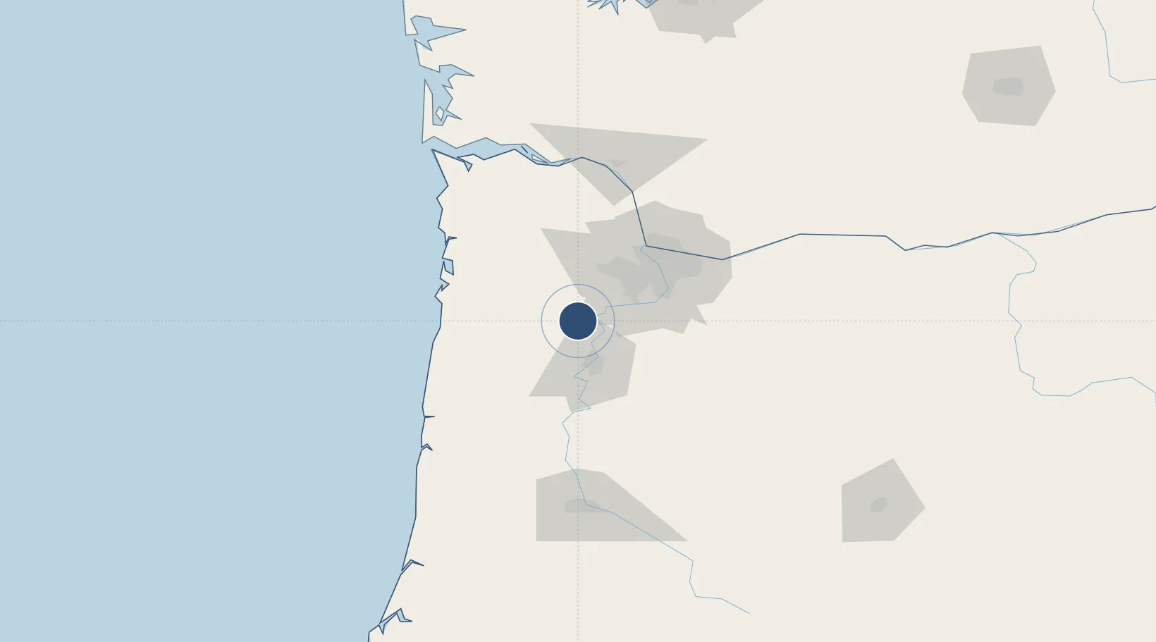
Nearby Logistics Neighbours

Airports
  1. 1Aurora State Airport29 km
  2. 2Salem-Willamette Valley Airport/McNary Field33 km
  3. 3Portland Hillsboro Airport41 km
  4. 4Portland International Airport61 km
  5. 5Portland Troutdale Airport70 km
Nearest neighbours — logibook spatial index (haversine) over the source coordinates
Cities
  1. 1Lafayette5 km
  2. 2Carlton12 km
  3. 3Keizer24 km
  4. 4Donald24 km
  5. 5Rickreall32 km
Nearest neighbours — logibook spatial index (haversine) over the source coordinates
Ports
  1. 1Portland51 km
  2. 2Vancouver60 km
  3. 3Camas72 km
  4. 4Washougal75 km
  5. 5St Helens79 km
Nearest neighbours — logibook spatial index (haversine) over the source coordinates
Trade Zones
  1. 1FTZ No. 255 Washington County44 km
  2. 2FTZ No. 045 Portland47 km
  3. 3FTZ No. 296 Vancouver60 km
  4. 4FTZ No. 120 Cowlitz County103 km
  5. 5FTZ No. 216 Olympia206 km
Nearest neighbours — logibook spatial index (haversine) over the source coordinates
DatabookThe Record of Consolidated Knowledge
United States beyond logistics?
Browse databook

All Sources

AirportsOurAirports
Public domain
Portsthe NGA World Port Index
Public domain (US gov)
LocationsUN/LOCODE
UN/LOCODE — free
Trade Zonesthe World Bank SEZ database
CC BY 4.0
Trade ZonesOpen Zone Map
CC BY
InfrastructureOpenStreetMap
ODbL 1.0
← United States airports