Transport Functions
Port
Rail
Road
Multimodal
Hub Profile
Place type
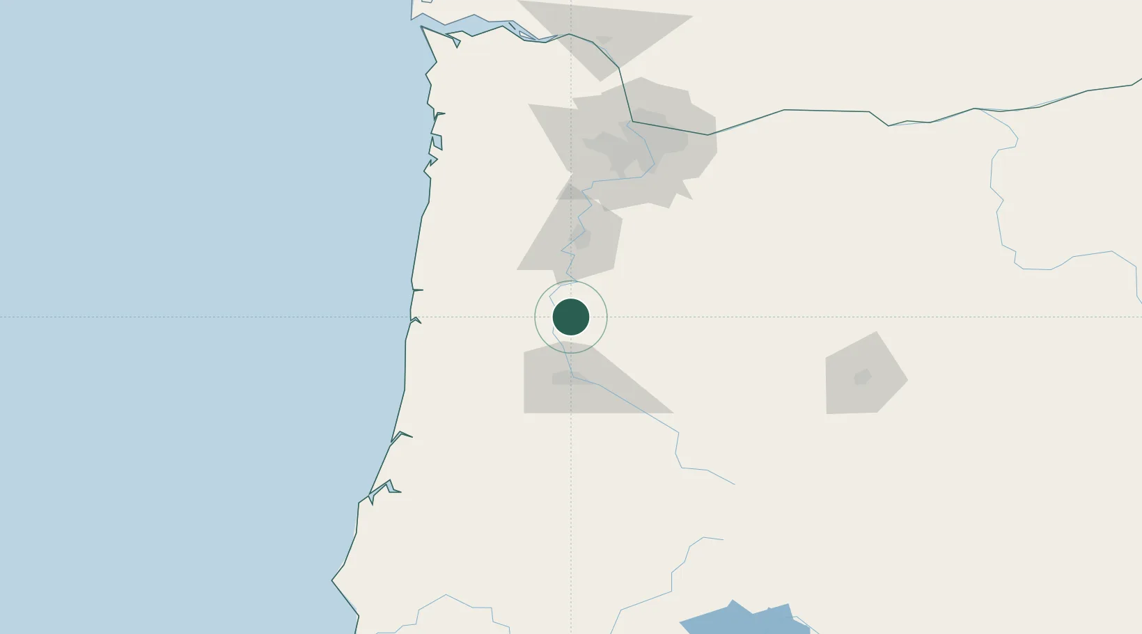
Populated place
Region
Oregon
Population
204
Time zone
America/Los_Angeles
Elevation
81 m
Location
Nearby Logistics Neighbours
Cities
- 1Tulsa9 km
- 2Tangent9 km
- 3Albany20 km
- 4Harrisburg21 km
- 5Monroe22 km
Airports
Trade Zones
- 1FTZ No. 045 Portland124 km
- 2FTZ No. 255 Washington County124 km
- 3FTZ No. 296 Vancouver136 km
- 4FTZ No. 132 Coos County150 km
- 5FTZ No. 120 Cowlitz County186 km
DatabookThe Record of Consolidated Knowledge
United States beyond logistics?