UN/LOCODE hub · United States
USRVS
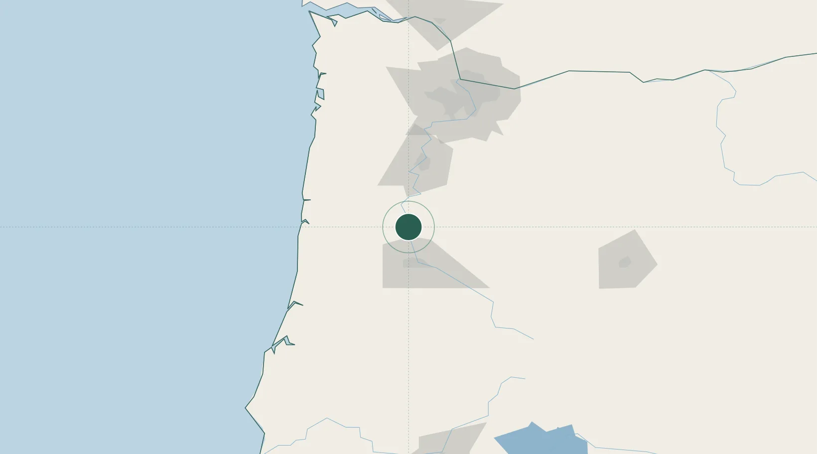
Tulsa
44.3833°, -123.1667°
413,066
Population
2
Transport functions
Transport Functions
Rail
Road
Hub Profile
Place type
Provincial seat
Region
Oklahoma
Population
413,066
Time zone
America/Chicago
Elevation
220 m
Location
Nearby Logistics Neighbours
Cities
- 1Shedd9 km
- 2Monroe13 km
- 3Harrisburg13 km
- 4Tangent18 km
- 5Junction City19 km
Airports
Trade Zones
- 1FTZ No. 255 Washington County131 km
- 2FTZ No. 045 Portland132 km
- 3FTZ No. 132 Coos County141 km
- 4FTZ No. 296 Vancouver145 km
- 5FTZ No. 120 Cowlitz County193 km
DatabookThe Record of Consolidated Knowledge
United States beyond logistics?