Transport Functions
Port
Rail
Road
Multimodal
Hub Profile
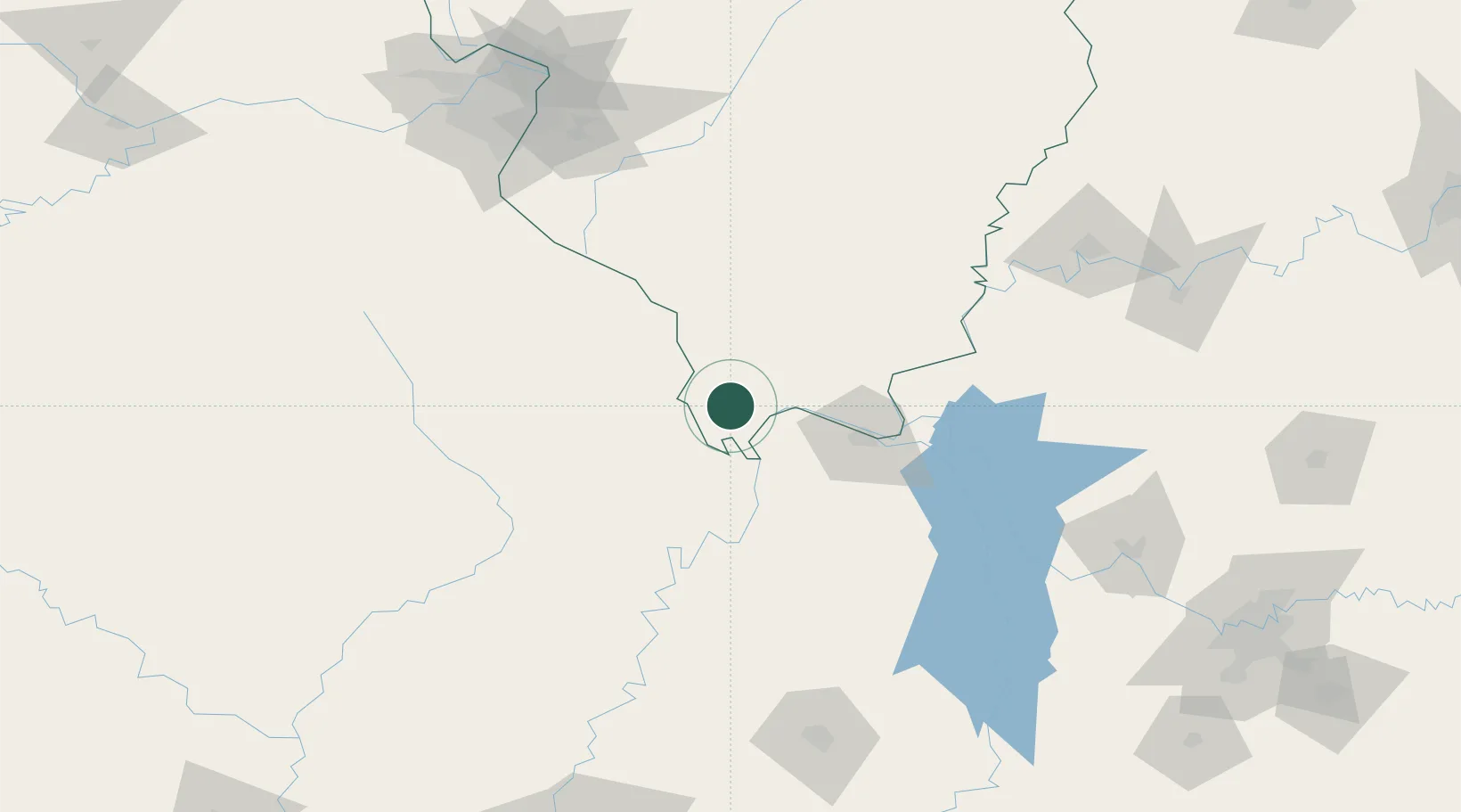
Place type
Populated place
Region
Illinois
Population
430
Time zone
America/Chicago
Elevation
104 m
Location
Nearby Logistics Neighbours
Ports
- 1Port Of Memphis254 km
- 2Gary515 km
- 3Indiana Harbor518 km
- 4Calumet Harbor522 km
- 5Chicago536 km
Airports
Trade Zones
- 1FTZ No. 294 Western Kentucky63 km
- 2FTZ No. 177 Evansville169 km
- 3FTZ No. 283 West Tennessee169 km
- 4FTZ No. 031 Granite City187 km
- 5FTZ No. 102 St. Louis County201 km
DatabookThe Record of Consolidated Knowledge
United States beyond logistics?