UN/LOCODE hub · United States
USCBS
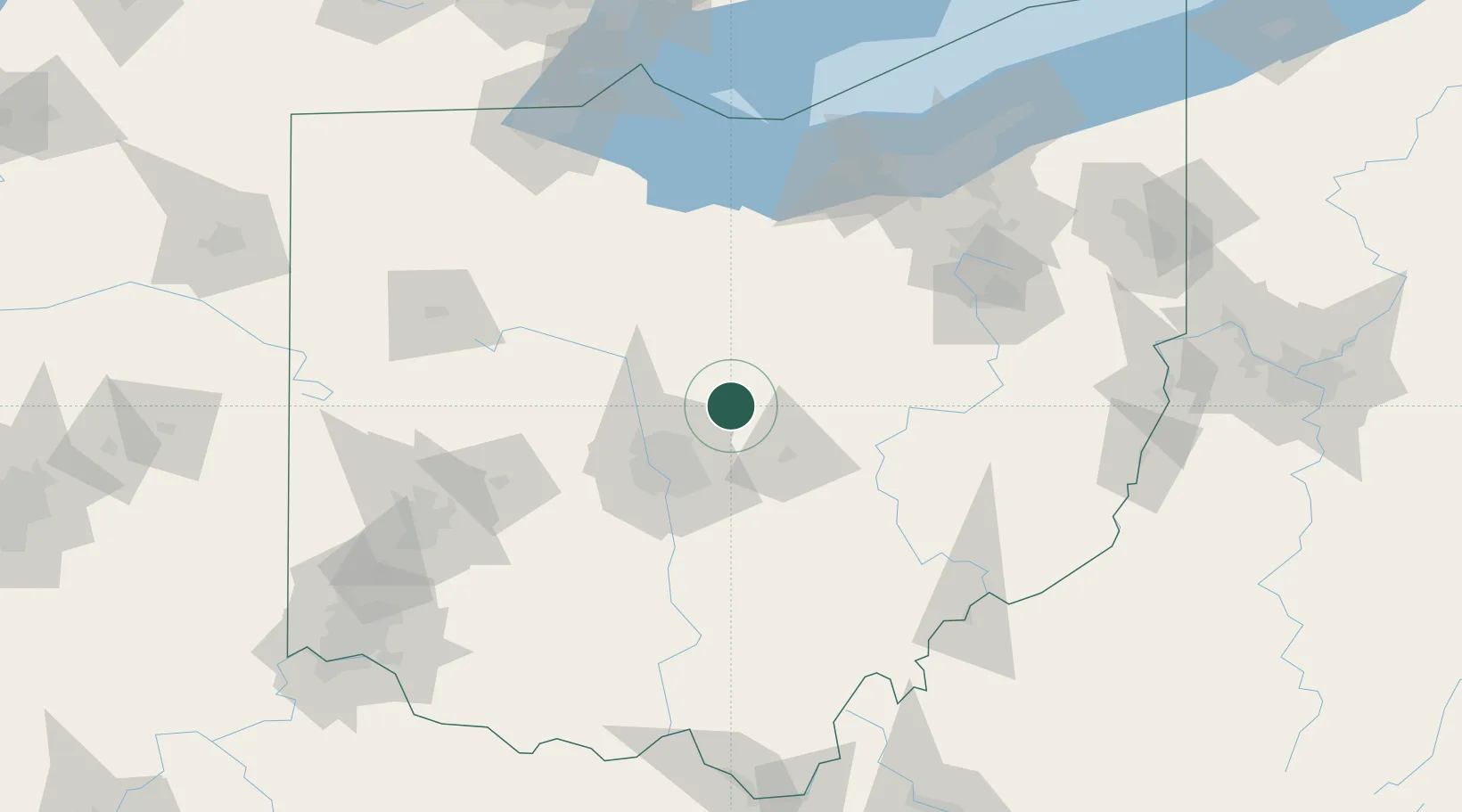
Centerburg
40.3000°, -82.7000°
2,052
Population
2
Transport functions
Transport Functions
Port
Road
Hub Profile
Place type
Populated place
Region
Ohio
Population
2,052
Time zone
America/New_York
Elevation
372 m
Location
Nearby Logistics Neighbours
Cities
- 1Johnstown17 km
- 2Fredericktown23 km
- 3Mount Gilead28 km
- 4Lewis Center29 km
- 5Granville30 km
Ports
- 1Huron123 km
- 2Sandusky128 km
- 3Vermilion129 km
- 4Port Clinton137 km
- 5Lorain137 km
Airports
Trade Zones
- 1FTZ No. 138 Franklin County57 km
- 2FTZ No. 181 Akron Canton109 km
- 3FTZ No. 151 Findlay118 km
- 4FTZ No. 054 Clinton County134 km
- 5FTZ No. 100 Dayton146 km
DatabookThe Record of Consolidated Knowledge
United States beyond logistics?