Transport Functions
Road
Multimodal
Hub Profile
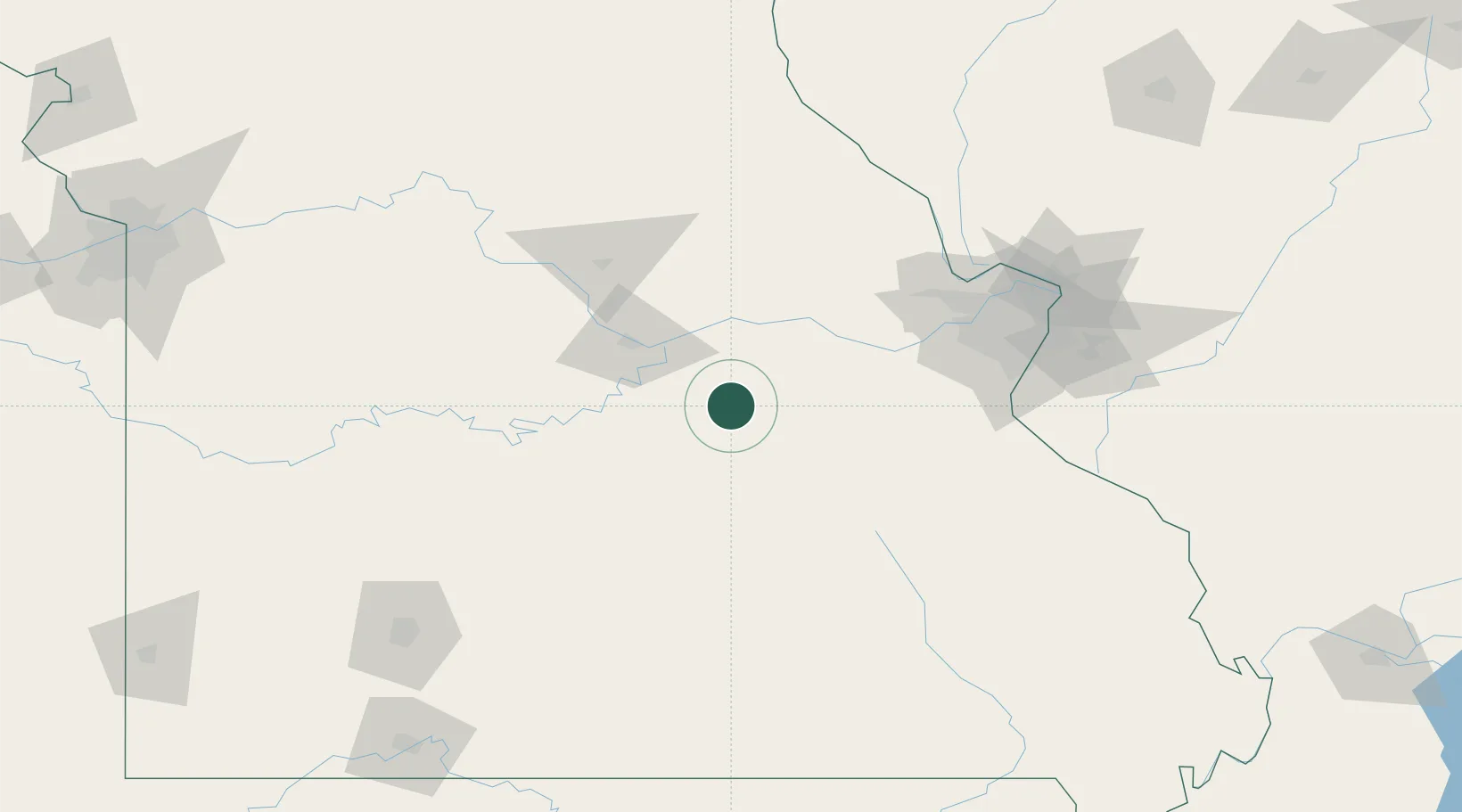
Place type
Populated place
Region
Missouri
Population
1,528
Time zone
America/Chicago
Elevation
313 m
Location
Nearby Logistics Neighbours
Cities
- 1Saint James35 km
- 2Cuba38 km
- 3Dixon47 km
- 4Hermann53 km
- 5Stanton54 km
Ports
- 1Port Of Memphis383 km
- 2Indiana Harbor524 km
- 3Calumet Harbor524 km
- 4Gary526 km
- 5Chicago532 km
Airports
Trade Zones
- 1FTZ No. 102 St. Louis County97 km
- 2FTZ No. 031 Granite City141 km
- 3FTZ No. 225 Springfield175 km
- 4FTZ No. 015 Kansas City283 km
- 5FTZ No. 055 Burlington286 km
DatabookThe Record of Consolidated Knowledge
United States beyond logistics?