Transport Functions
Road
Multimodal
Hub Profile
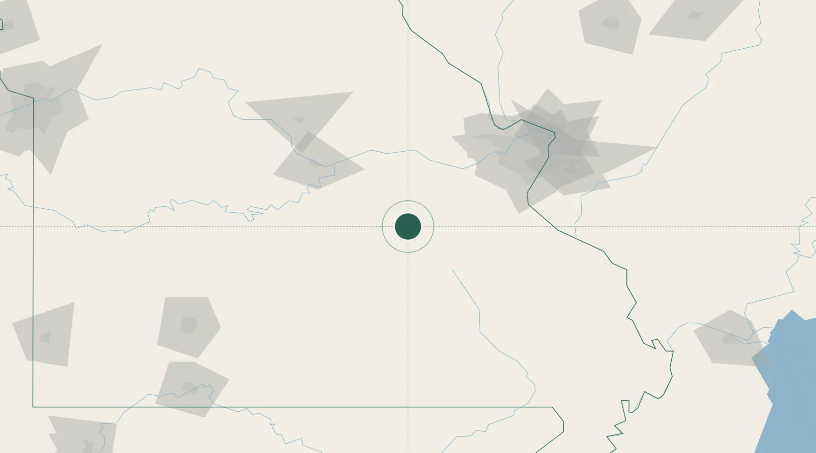
Place type
Populated place
Region
Missouri
Population
3,374
Time zone
America/Chicago
Elevation
305 m
Location
Nearby Logistics Neighbours
Cities
- 1Saint James19 km
- 2Stanton36 km
- 3Belle38 km
- 4Viburnum45 km
- 5Saint Clair, Franklin49 km
Ports
- 1Port Of Memphis350 km
- 2Indiana Harbor526 km
- 3Calumet Harbor527 km
- 4Gary527 km
- 5Chicago535 km
Airports
Trade Zones
- 1FTZ No. 102 St. Louis County90 km
- 2FTZ No. 031 Granite City130 km
- 3FTZ No. 225 Springfield181 km
- 4FTZ No. 294 Western Kentucky271 km
- 5FTZ No. 245 Decatur285 km
DatabookThe Record of Consolidated Knowledge
United States beyond logistics?