Transport Functions
Multimodal
Hub Profile
Place type
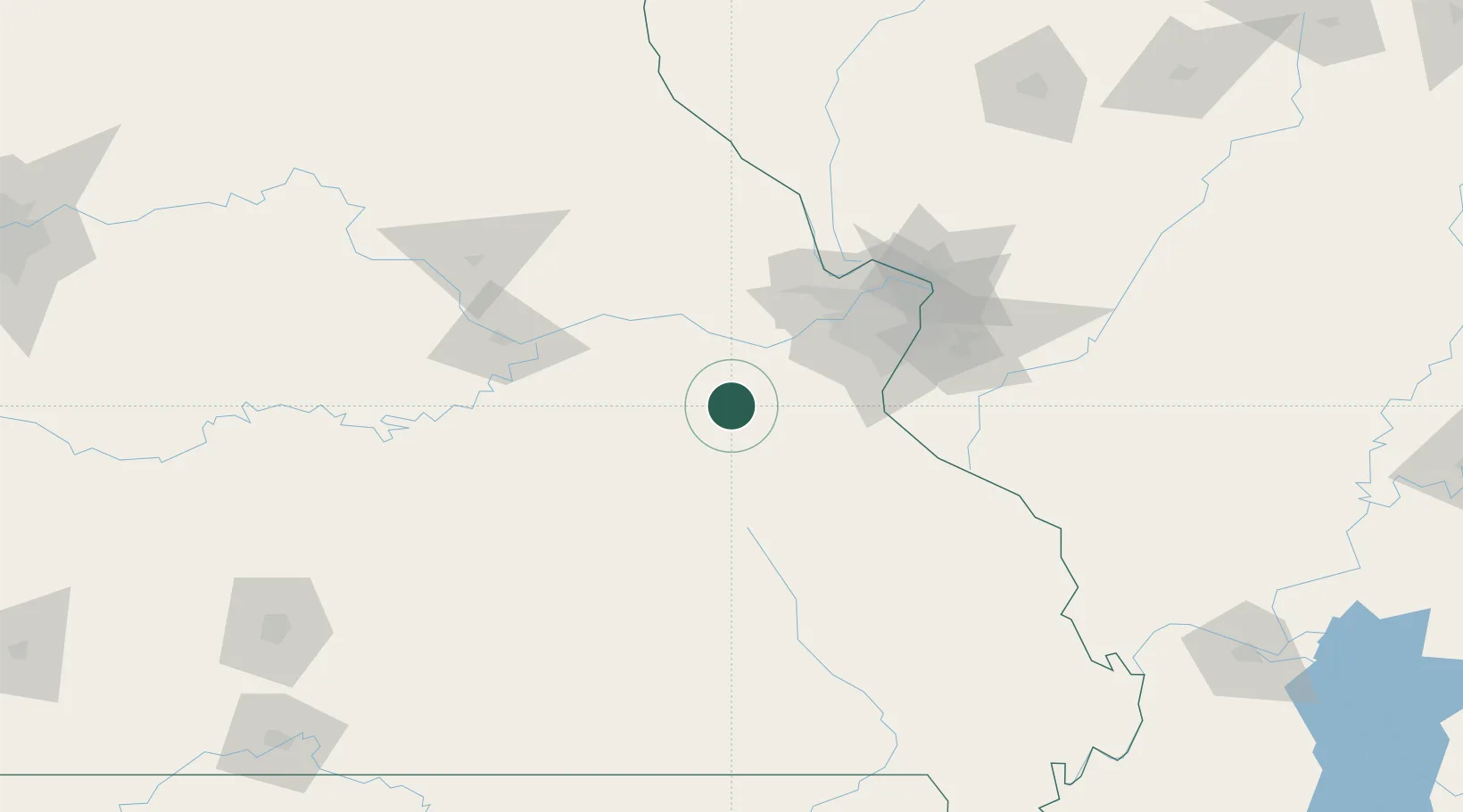
Populated place
Region
Missouri
Time zone
America/Chicago
Elevation
264 m
Location
Nearby Logistics Neighbours
Cities
- 1Saint Clair, Franklin14 km
- 2Union, Franklin22 km
- 3Catawissa34 km
- 4Labadie35 km
- 5Cuba36 km
Ports
- 1Port Of Memphis365 km
- 2Indiana Harbor490 km
- 3Calumet Harbor492 km
- 4Gary492 km
- 5Chicago500 km
Airports
Trade Zones
- 1FTZ No. 102 St. Louis County54 km
- 2FTZ No. 031 Granite City94 km
- 3FTZ No. 225 Springfield216 km
- 4FTZ No. 245 Decatur250 km
- 5FTZ No. 294 Western Kentucky259 km
DatabookThe Record of Consolidated Knowledge
United States beyond logistics?