Transport Functions
Port
Rail
Road
Hub Profile
Place type
Provincial seat
Region
Missouri
Population
2,376
Time zone
America/Chicago
Elevation
162 m
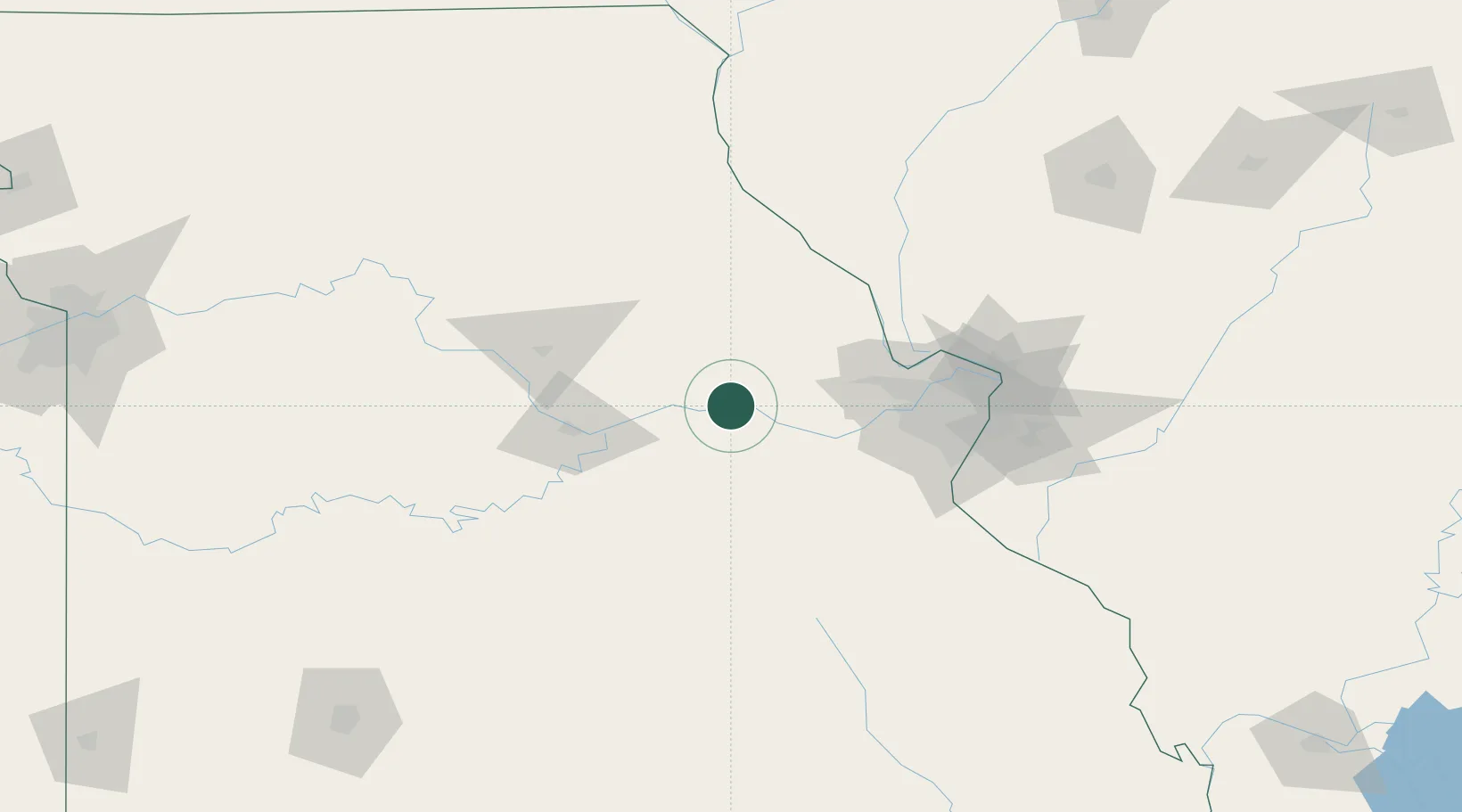
Location
Nearby Logistics Neighbours
Cities
- 1High Hill19 km
- 2Jonesburg20 km
- 3New Haven22 km
- 4New Florence24 km
- 5Marthasville34 km
Ports
- 1Port Of Memphis419 km
- 2Indiana Harbor474 km
- 3Calumet Harbor474 km
- 4Gary476 km
- 5Chicago481 km
Airports
Trade Zones
- 1FTZ No. 102 St. Louis County63 km
- 2FTZ No. 031 Granite City107 km
- 3FTZ No. 225 Springfield225 km
- 4FTZ No. 055 Burlington236 km
- 5FTZ No. 245 Decatur242 km
DatabookThe Record of Consolidated Knowledge
United States beyond logistics?