Transport Functions
Rail
Road
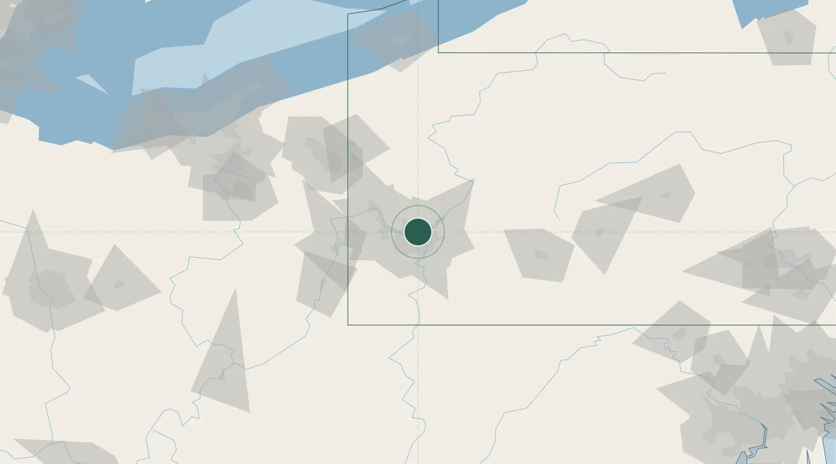
Hub Profile
Place type
Populated place
Region
Pennsylvania
Population
3,401
Time zone
America/New_York
Elevation
227 m
Location
Nearby Logistics Neighbours
Cities
- 1Blawnox6 km
- 2Loyalhanna9 km
- 3Wildwood10 km
- 4McKees Rocks11 km
- 5Homestead12 km
Airports
Trade Zones
- 1FTZ No. 033 Pittsburgh13 km
- 2FTZ No. 295 Central Pennsylvania122 km
- 3FTZ No. 254 Jefferson County144 km
- 4FTZ No. 181 Akron Canton161 km
- 5FTZ No. 247 Erie180 km
DatabookThe Record of Consolidated Knowledge
United States beyond logistics?