UN/LOCODE hub · United States
USZNV
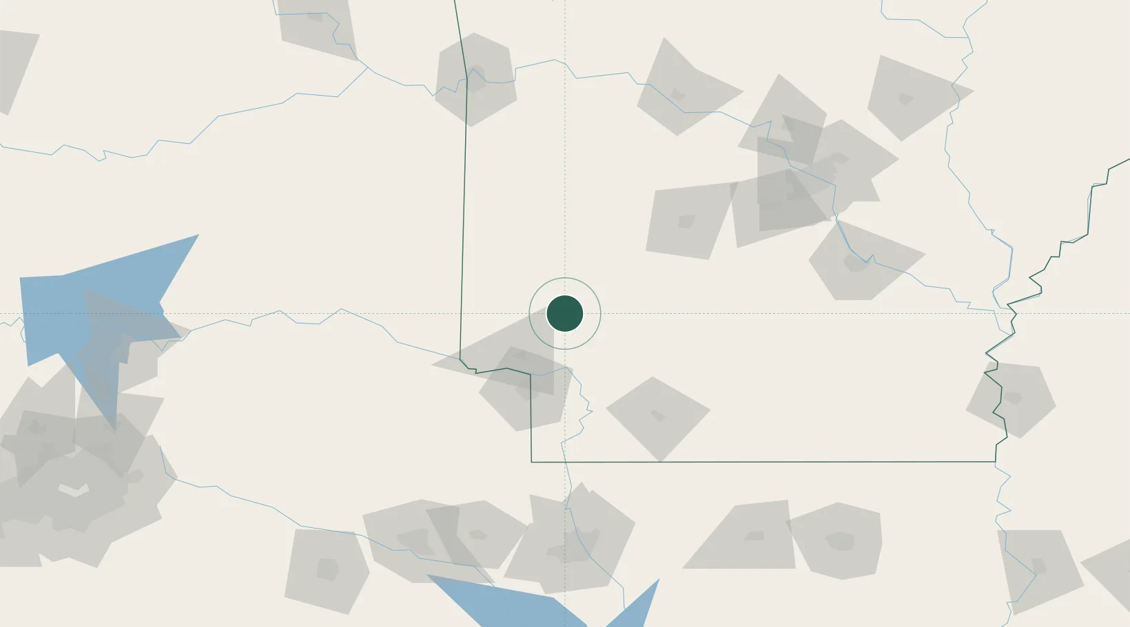
Nashville
33.9333°, -93.8333°
4,479
Population
3
Transport functions
Transport Functions
Rail
Road
Multimodal
Hub Profile
Place type
Provincial seat
Region
Arkansas
Population
4,479
Time zone
America/Chicago
Elevation
116 m
Location
Nearby Logistics Neighbours
Cities
- 1Clear Lake46 km
- 2Gillham52 km
- 3Glenwood52 km
- 4Beirne57 km
- 5Nash61 km
Ports
- 1Port Of Memphis359 km
- 2Lake Charles417 km
- 3Orange428 km
- 4Beaumont429 km
- 5Port Neches438 km
Airports
Trade Zones
- 1FTZ No. 258 Bowie County93 km
- 2FTZ No. 145 Shreveport164 km
- 3FTZ No. 146 Lawrence County164 km
- 4FTZ No. 014 Little Rock174 km
- 5FTZ No. 234 Gregg County188 km
DatabookThe Record of Consolidated Knowledge
United States beyond logistics?