Transport Functions
Road
Multimodal
Hub Profile
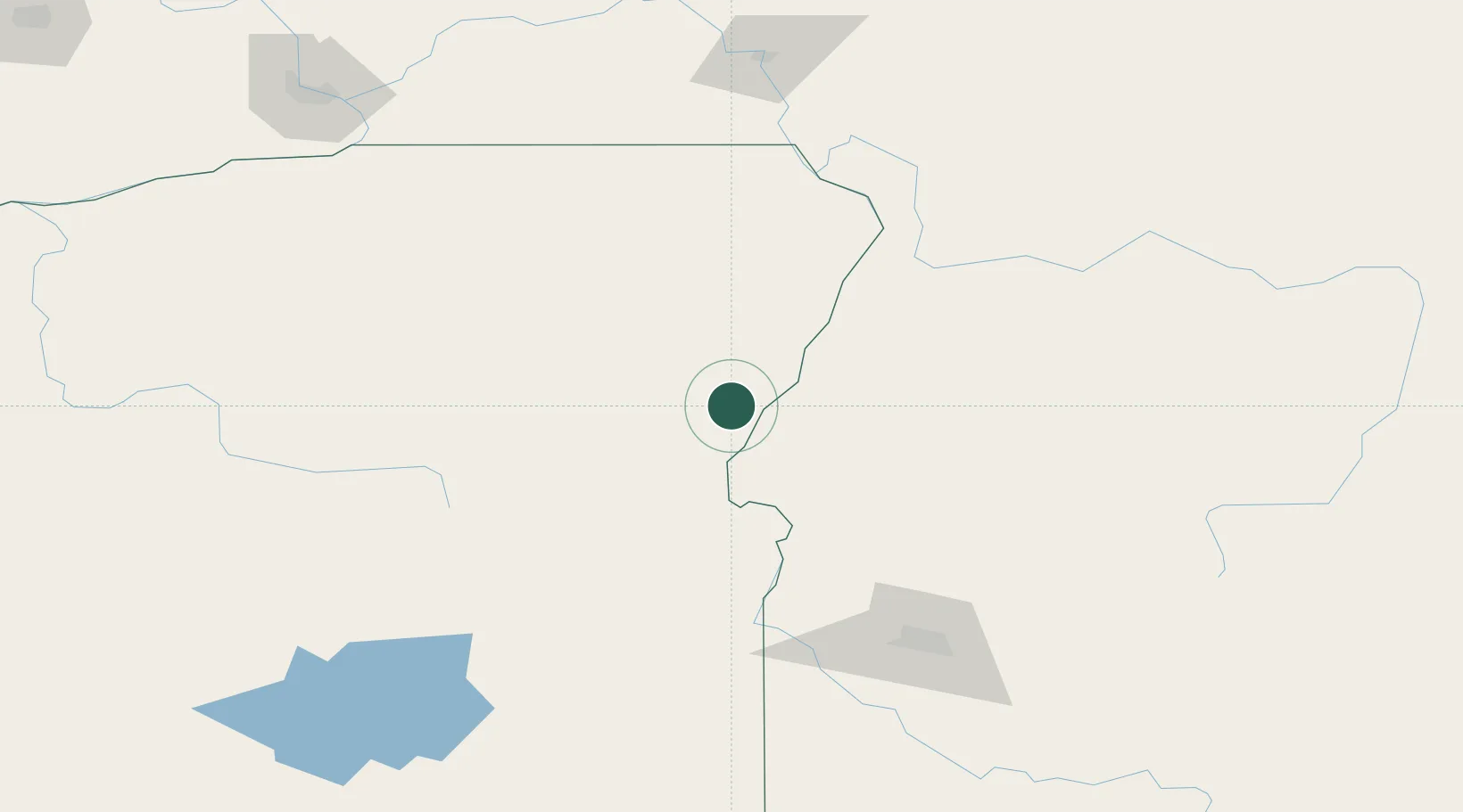
Place type
Populated place
Region
Oregon
Population
176
Time zone
America/Los_Angeles
Elevation
674 m
Location
Nearby Logistics Neighbours
Cities
- 1Baker City51 km
- 2Donnelly87 km
- 3Vale87 km
- 4New Plymouth92 km
- 5Nyssa98 km
Ports
- 1The Dalles327 km
- 2Washougal415 km
- 3Camas419 km
- 4Portland438 km
- 5Vancouver442 km
Airports
Trade Zones
- 1FTZ No. 280 Ada and Canyon Counties140 km
- 2FTZ No. 203 Moses Lake313 km
- 3FTZ No. 224 Spokane326 km
- 4FTZ No. 274 Butte-Silver Bow357 km
- 5FTZ No. 275 Lansing389 km
DatabookThe Record of Consolidated Knowledge
United States beyond logistics?