UN/LOCODE hub · United States
USBK4
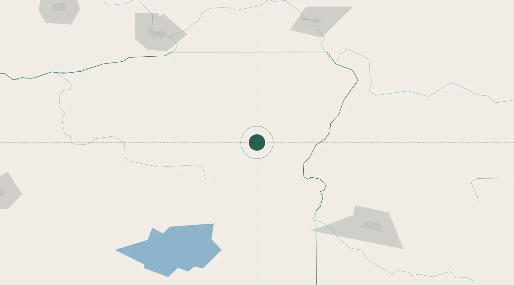
Baker City
44.7667°, -117.8333°
9,752
Population
2
Transport functions
Transport Functions
Road
Multimodal
Hub Profile
Place type
Provincial seat
Region
Oregon
Population
9,752
Time zone
America/Los_Angeles
Elevation
1,051 m
Location
Nearby Logistics Neighbours
Cities
- 1Richland51 km
- 2Imbler77 km
- 3Vale101 km
- 4Nyssa119 km
- 5New Plymouth120 km
Ports
- 1The Dalles278 km
- 2Washougal365 km
- 3Camas369 km
- 4Portland388 km
- 5Vancouver392 km
Airports
Trade Zones
- 1FTZ No. 280 Ada and Canyon Counties154 km
- 2FTZ No. 203 Moses Lake288 km
- 3FTZ No. 224 Spokane324 km
- 4FTZ No. 296 Vancouver393 km
- 5FTZ No. 045 Portland398 km
DatabookThe Record of Consolidated Knowledge
United States beyond logistics?