Medium airport · United States
Eastern Oregon Regional Airport at PendletonKPDT
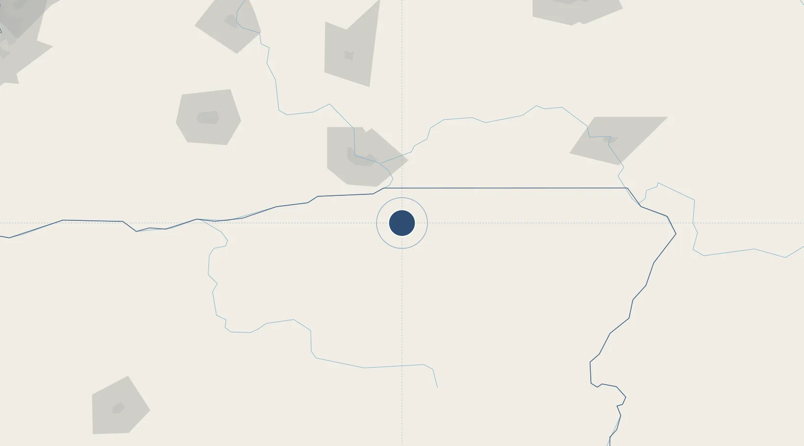
45.6951°, -118.8410°
6,301 ft
Longest runway
2
Runways
1,497 ft
Elevation
Runway & Layout

Radio Frequencies
ASOS
118.325 MHz
TWR
119.7 MHz
PENDLETON TWR
GND
121.9 MHz
CTAF
119.7 MHz
A/D
133.15 MHz
CHINOOK APP/DEP
OPS
40.9 MHz
ARNG OPS
RDO
122.2 MHz
MC MINNVILLE RDO
UNIC
122.95 MHz
UNICOM
Runways · 2
| Runway | Dimensions | Surface | True heading | Lit |
|---|---|---|---|---|
| 08/26 | 6,301 × 150ft | Asphalt | 090° | ✓ |
| 11/29 | 4,808 × 100ft | Asphalt | 128° | ✓ |
Airport Specifications
IATA code
PDT
ICAO code
KPDT
Airport class
Medium airport
Scheduled service
Yes
Runway surface
Asphalt
Served city
Pendleton
Location
Nearby Logistics Neighbours
Airports
Cities
- 1Athena30 km
- 2Lowden44 km
- 3Burbank49 km
- 4Villard Junction54 km
- 5Irrigon54 km
Ports
- 1The Dalles182 km
- 2Washougal273 km
- 3Camas277 km
- 4Portland298 km
- 5Vancouver299 km
Trade Zones
- 1FTZ No. 203 Moses Lake164 km
- 2FTZ No. 224 Spokane243 km
- 3FTZ No. 280 Ada and Canyon Counties282 km
- 4FTZ No. 296 Vancouver299 km
- 5FTZ No. 045 Portland308 km
DatabookThe Record of Consolidated Knowledge
United States beyond logistics?