UN/LOCODE hub · United States
USYVA

Vale

43.9667°, -117.2333°
1,833
Population
3
Transport functions

Transport Functions

Rail
Road
Multimodal
UN/LOCODE

Hub Profile

Place type
Provincial seat
GeoNames
Region
Oregon
GeoNames
Population
1,833
GeoNames
Time zone
America/Boise
GeoNames
Elevation
684 m
GeoNames

Location

Location of USYVA
Natural Earth 10m (public domain) · Oregon · USYVA · 43.97, -117.23GoogleOSMYandex

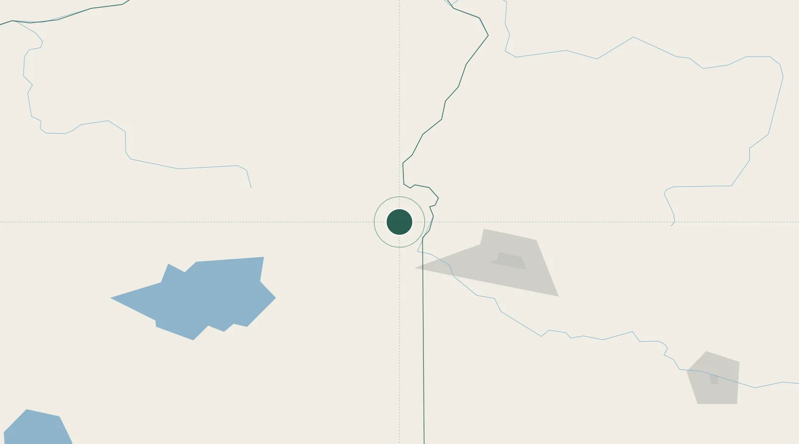
Nearby Logistics Neighbours

Cities
  1. 1Nyssa21 km
  2. 2Driggs29 km
  3. 3Parma32 km
  4. 4New Plymouth33 km
  5. 5Sunnyslope56 km
Nearest neighbours — logibook spatial index (haversine) over the source coordinates
Ports
  1. 1The Dalles361 km
  2. 2Washougal442 km
  3. 3Camas446 km
  4. 4Portland462 km
  5. 5Vancouver468 km
Nearest neighbours — logibook spatial index (haversine) over the source coordinates
Airports
  1. 1Ontario Municipal Airport19 km
  2. 2Boise Air Terminal/Gowen Field93 km
  3. 3Baker City Municipal Airport107 km
  4. 4McCall Municipal Airport136 km
  5. 5Burns Municipal Airport144 km
Nearest neighbours — logibook spatial index (haversine) over the source coordinates
Trade Zones
  1. 1FTZ No. 280 Ada and Canyon Counties54 km
  2. 2FTZ No. 203 Moses Lake388 km
  3. 3FTZ No. 274 Butte-Silver Bow402 km
  4. 4FTZ No. 224 Spokane413 km
  5. 5FTZ No. 275 Lansing433 km
Nearest neighbours — logibook spatial index (haversine) over the source coordinates
DatabookThe Record of Consolidated Knowledge
United States beyond logistics?
Browse databook

All Sources

LocationsUN/LOCODE
UN/LOCODE — free
LocationsGeoNames
CC BY 4.0
Portsthe NGA World Port Index
Public domain (US gov)
AirportsOurAirports
Public domain
Trade Zonesthe World Bank SEZ database
CC BY 4.0
Trade ZonesOpen Zone Map
CC BY
← United States locations