Transport Functions
Port
Road
Hub Profile
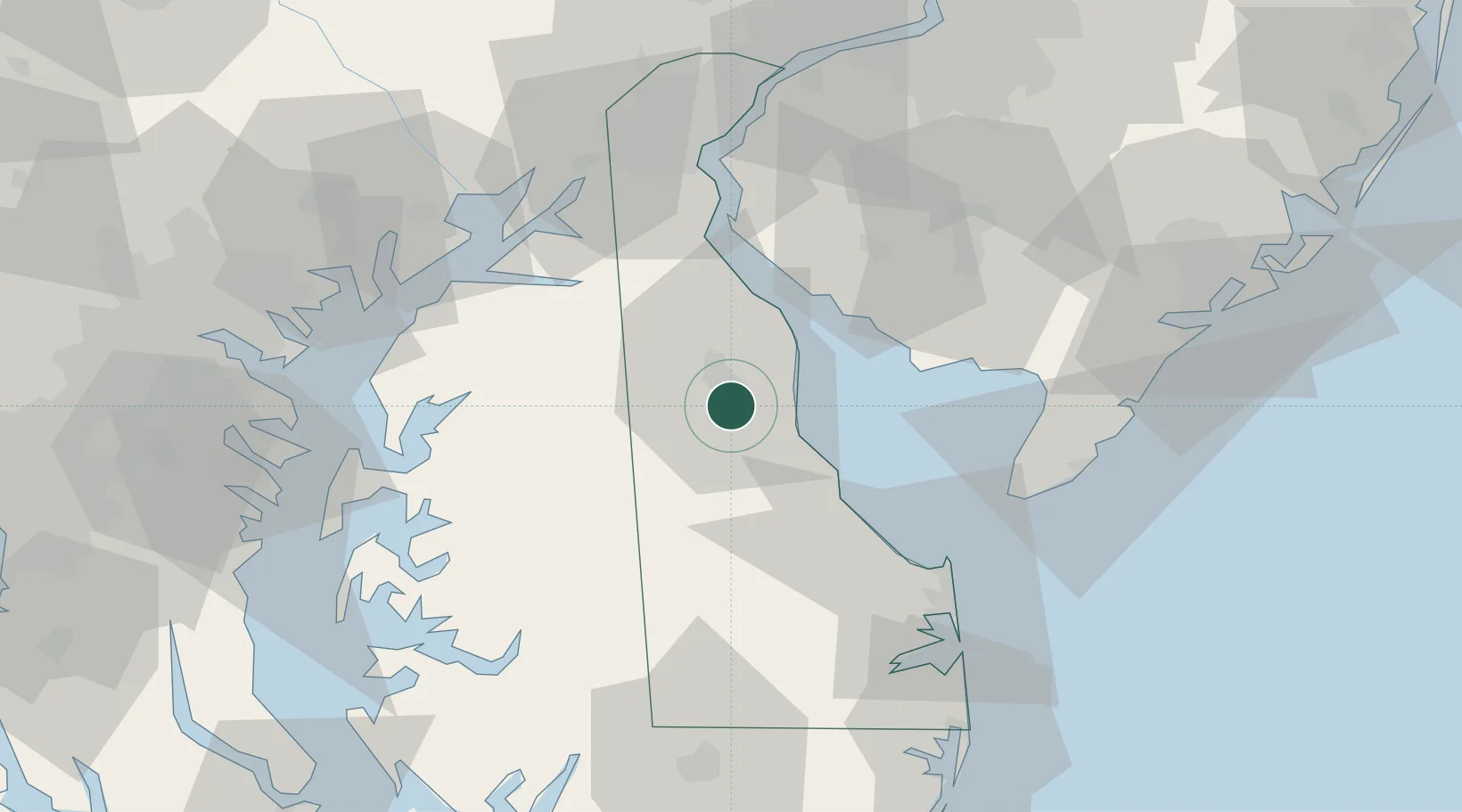
Place type
Populated place
Region
Delaware
Population
3,505
Time zone
America/New_York
Elevation
12 m
Location
Nearby Logistics Neighbours
Ports
- 1New Castle59 km
- 2Salem Nj61 km
- 3Deepwater Point65 km
- 4Havre De Grace66 km
- 5Wilmington69 km
Airports
Trade Zones
- 1FTZ No. 142 Salem Millville47 km
- 2FTZ No. 099 Wilmington70 km
- 3FTZ No. 074 Baltimore94 km
- 4FTZ No. 073 BWI Airport98 km
- 5FTZ No. 035 Philadelphia101 km
DatabookThe Record of Consolidated Knowledge
United States beyond logistics?