Transport Functions
Road
Multimodal
Hub Profile
Place type
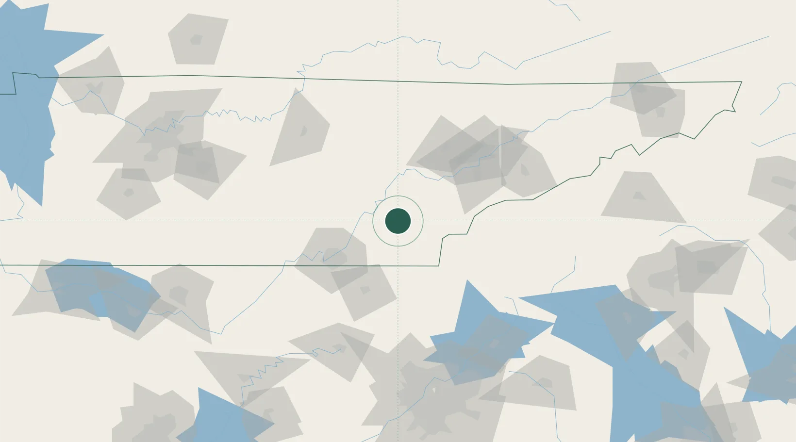
Populated place
Region
Tennessee
Population
670
Time zone
America/New_York
Elevation
255 m
Location
Nearby Logistics Neighbours
Cities
- 1Calhoun11 km
- 2Delano18 km
- 3Englewood19 km
- 4Niota19 km
- 5Georgetown25 km
Ports
- 1Beaufort495 km
- 2Savannah495 km
- 3Port Royal499 km
- 4Darien539 km
- 5Brunswick556 km
Airports
Trade Zones
- 1FTZ No. 134 Chattanooga71 km
- 2FTZ No. 148 Knoxville79 km
- 3FTZ No. 026 Atlanta182 km
- 4FTZ No. 083 Huntsville207 km
- 5FTZ No. 270 Lawrence County220 km
DatabookThe Record of Consolidated Knowledge
United States beyond logistics?