Transport Functions
Rail
Road
Hub Profile
Place type
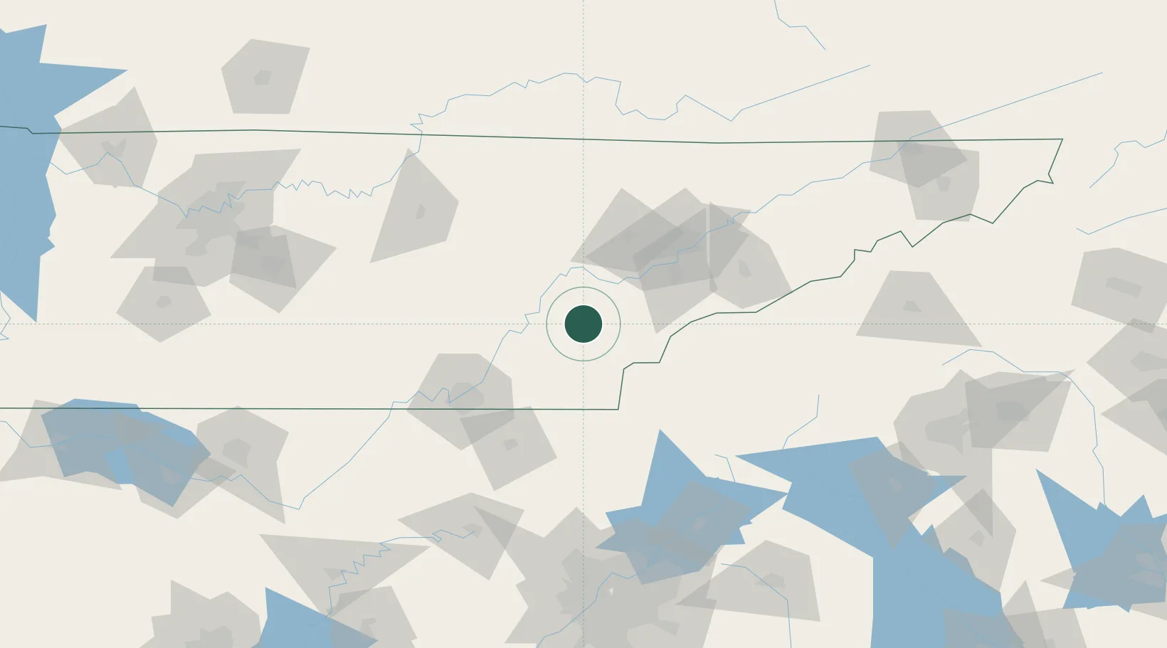
Populated place
Region
Tennessee
Population
718
Time zone
America/New_York
Elevation
307 m
Location
Nearby Logistics Neighbours
Cities
- 1Englewood10 km
- 2Riceville19 km
- 3Tellico Plains26 km
- 4Delano26 km
- 5Calhoun30 km
Ports
- 1Beaufort493 km
- 2Savannah496 km
- 3Port Royal498 km
- 4Darien542 km
- 5Brunswick560 km
Airports
Trade Zones
- 1FTZ No. 148 Knoxville61 km
- 2FTZ No. 134 Chattanooga89 km
- 3FTZ No. 026 Atlanta194 km
- 4FTZ No. 038 Spartanburg County218 km
- 5FTZ No. 204 Tri-Cities220 km
DatabookThe Record of Consolidated Knowledge
United States beyond logistics?