UN/LOCODE hub · United States
USEEW
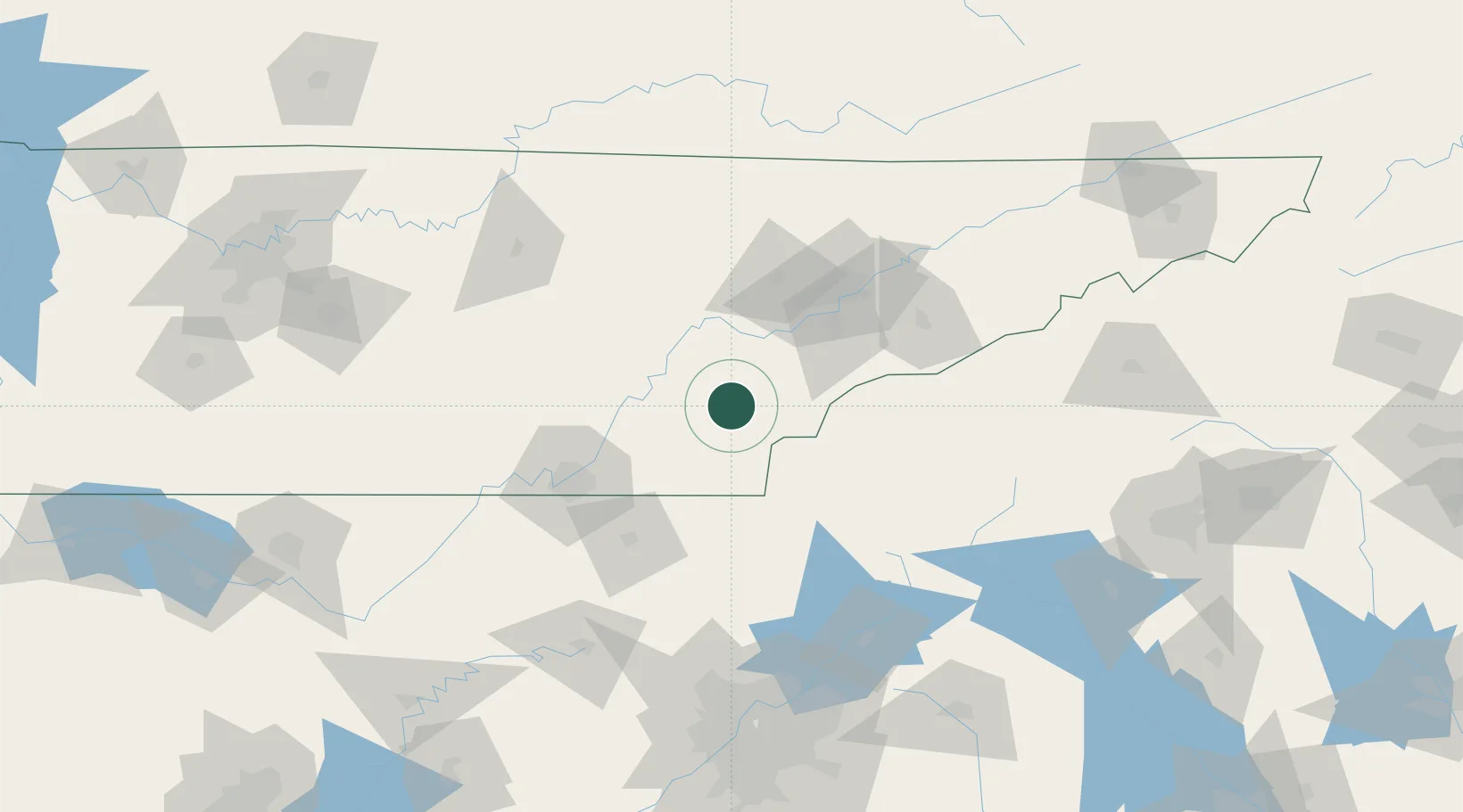
Englewood
35.4167°, -84.4833°
1,529
Population
3
Transport functions
Transport Functions
Rail
Road
Multimodal
Hub Profile
Place type
Populated place
Region
Tennessee
Population
1,529
Time zone
America/New_York
Elevation
262 m
Location
Nearby Logistics Neighbours
Cities
- 1Niota10 km
- 2Tellico Plains18 km
- 3Delano18 km
- 4Riceville19 km
- 5Calhoun27 km
Ports
- 1Beaufort484 km
- 2Savannah486 km
- 3Port Royal488 km
- 4Darien532 km
- 5Brunswick550 km
Airports
Trade Zones
- 1FTZ No. 148 Knoxville68 km
- 2FTZ No. 134 Chattanooga89 km
- 3FTZ No. 026 Atlanta184 km
- 4FTZ No. 038 Spartanburg County211 km
- 5FTZ No. 204 Tri-Cities221 km
DatabookThe Record of Consolidated Knowledge
United States beyond logistics?