Transport Functions
Road
Multimodal
Hub Profile
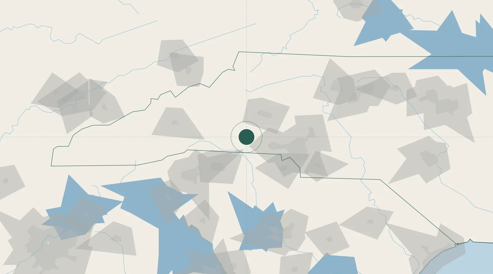
Place type
Populated place
Region
North Carolina
Population
592
Time zone
America/New_York
Elevation
258 m
Location
Nearby Logistics Neighbours
Cities
- 1Mooresboro18 km
- 2Ellenboro20 km
- 3Earl24 km
- 4Bostic26 km
- 5Grover28 km
Ports
- 1Georgetown307 km
- 2Charleston328 km
- 3Beaufort340 km
- 4Port Royal347 km
- 5Wilmington353 km
Airports
Trade Zones
DatabookThe Record of Consolidated Knowledge
United States beyond logistics?