Transport Functions
Rail
Road
Multimodal
Hub Profile
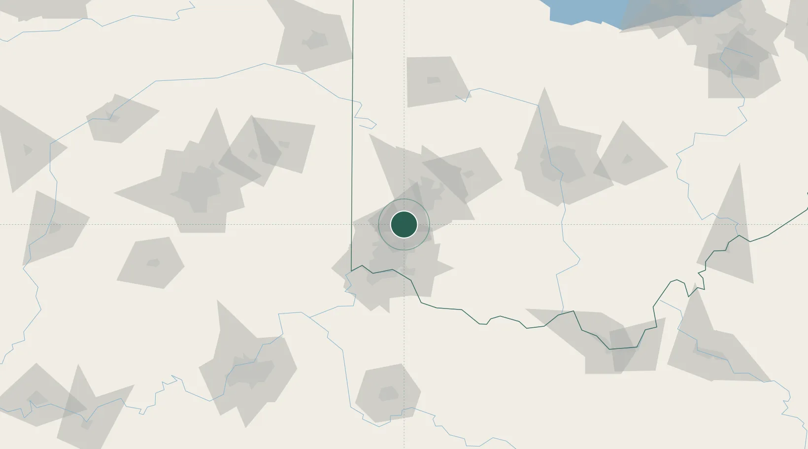
Region
OH
Location
Nearby Logistics Neighbours
Cities
- 1Trenton9 km
- 2Germantown13 km
- 3Miamisburg17 km
- 4New Miami17 km
- 5Kings Mills20 km
Ports
- 1Port Clinton255 km
- 2Toledo256 km
- 3Sandusky258 km
- 4Huron261 km
- 5Put In Bay273 km
Airports
Trade Zones
- 1FTZ No. 100 Dayton34 km
- 2FTZ No. 046 CIncinnati46 km
- 3FTZ No. 054 Clinton County50 km
- 4FTZ No. 047 Boone County75 km
- 5FTZ No. 138 Franklin County127 km
DatabookThe Record of Consolidated Knowledge
United States beyond logistics?