Transport Functions
Road
Multimodal
Hub Profile
Place type
Populated place
Region
New York
Population
1,299
Time zone
America/New_York
Elevation
219 m
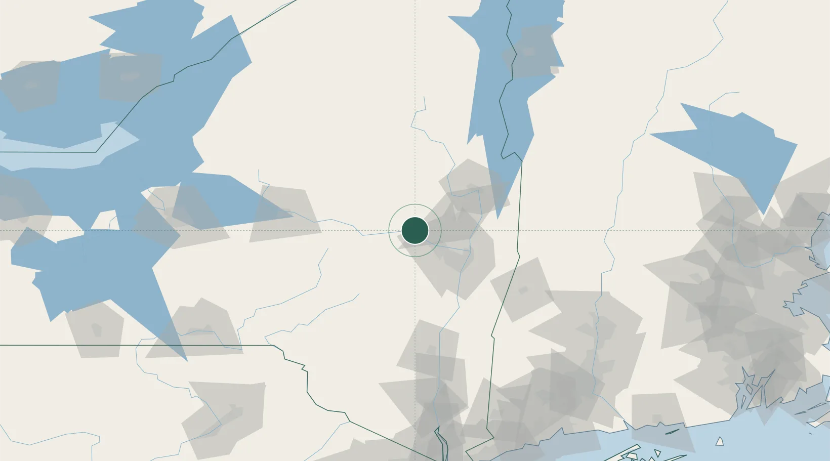
Location
Nearby Logistics Neighbours
Cities
- 1Glenville18 km
- 2Fultonville18 km
- 3Ballston Lake24 km
- 4Rotterdam25 km
- 5Palatine Bridge34 km
Ports
- 1Troy45 km
- 2Albany48 km
- 3Rensselaer48 km
- 4Catskill87 km
- 5Kingston116 km
Airports
Trade Zones
- 1FTZ No. 121 Albany39 km
- 2FTZ No. 268 Brattleboro127 km
- 3FTZ No. 201 Holyoke144 km
- 4FTZ No. 172 Oneida County156 km
- 5FTZ No. 071 Windsor Locks170 km
DatabookThe Record of Consolidated Knowledge
United States beyond logistics?