UN/LOCODE hub · United States
USFV3
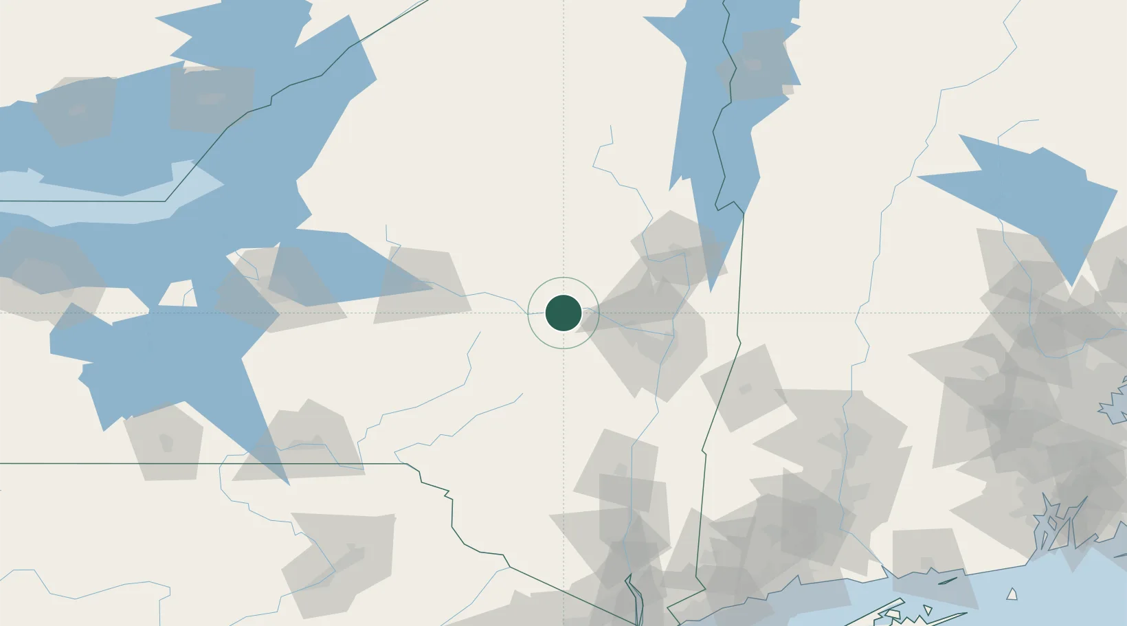
Fultonville
42.9333°, -74.3667°
788
Population
1
Transport functions
Transport Functions
Multimodal
Hub Profile
Place type
Populated place
Region
New York
Population
788
Time zone
America/New_York
Elevation
88 m
Location
Nearby Logistics Neighbours
Cities
- 1Palatine Bridge16 km
- 2Hagaman18 km
- 3Saint Johnsville27 km
- 4Glenville33 km
- 5Manheim Center36 km
Ports
- 1Troy59 km
- 2Albany59 km
- 3Rensselaer59 km
- 4Catskill90 km
- 5Kingston116 km
Airports
Trade Zones
- 1FTZ No. 121 Albany51 km
- 2FTZ No. 172 Oneida County140 km
- 3FTZ No. 268 Brattleboro144 km
- 4FTZ No. 201 Holyoke157 km
- 5FTZ No. 109 Watertown170 km
DatabookThe Record of Consolidated Knowledge
United States beyond logistics?