Transport Functions
Rail
Road
Multimodal
Hub Profile
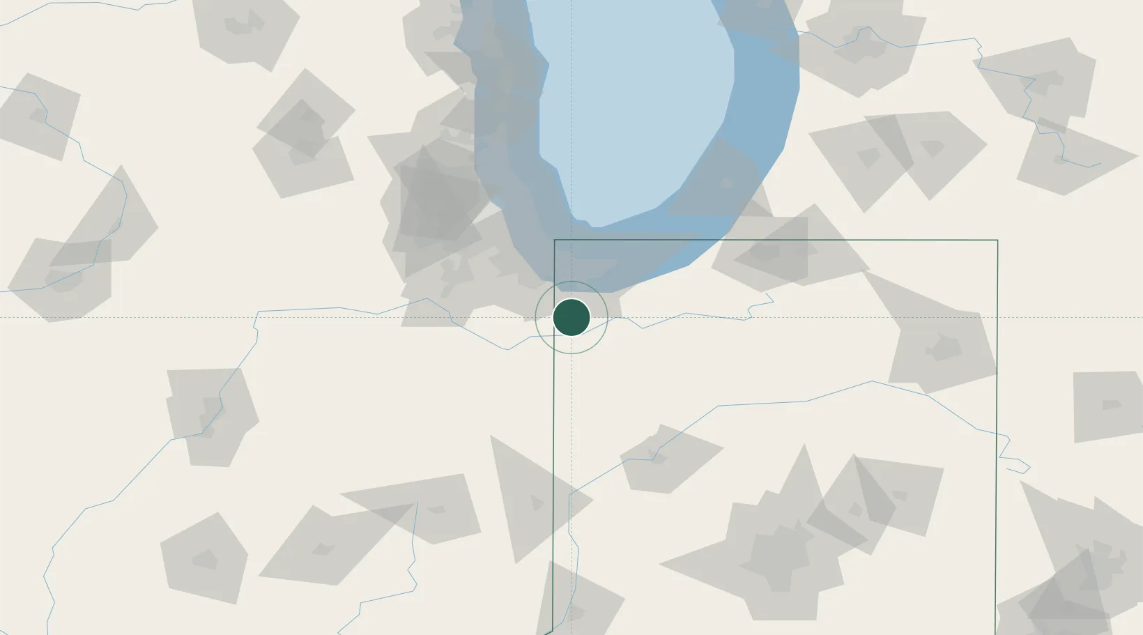
Region
IN
Location
Nearby Logistics Neighbours
Cities
- 1Shelby13 km
- 2Hebron19 km
- 3Saint John19 km
- 4DeMotte23 km
- 5Dyer23 km
Ports
- 1Gary38 km
- 2Indiana Harbor43 km
- 3Calumet Harbor51 km
- 4Michigan City66 km
- 5Chicago68 km
Airports
Trade Zones
- 1FTZ No. 152 Burns Harbor43 km
- 2FTZ No. 022 Chicago72 km
- 3FTZ No. 125 South Bend99 km
- 4FTZ No. 292 Lake County122 km
- 5FTZ No. 182 Fort Wayne179 km
DatabookThe Record of Consolidated Knowledge
United States beyond logistics?