UN/LOCODE hub · United States
USKI2
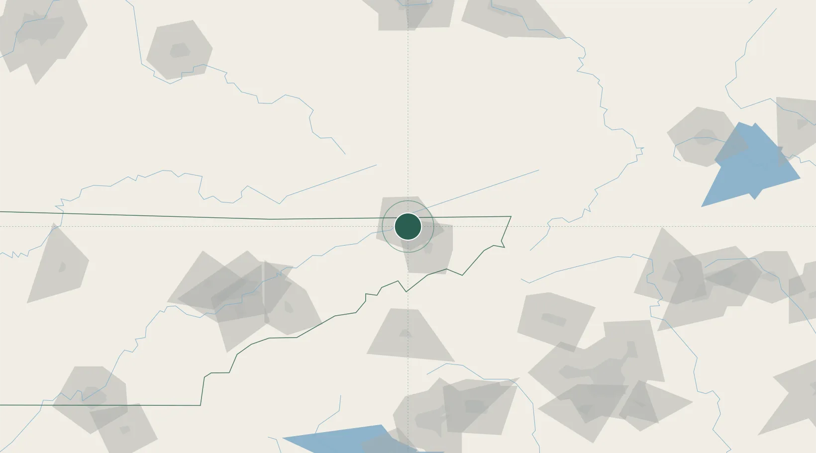
Kingsport
36.5233°, -82.5441°
53,014
Population
2
Transport functions
Transport Functions
Rail
Road
Hub Profile
Place type
Populated place
Region
Tennessee
Population
53,014
Time zone
America/New_York
Elevation
369 m
Logistics facilities
2
Location
Nearby Logistics Neighbours
Cities
- 1Bristol-Johnson City-Kingsport (Tri-Cities Regional) Apt3 km
- 2Gray11 km
- 3Blountville20 km
- 4Piney Flats25 km
- 5Bluff City26 km
Ports
- 1Georgetown460 km
- 2Charleston480 km
- 3Beaufort486 km
- 4Port Royal493 km
- 5Southport503 km
Airports
- 1Tri-Cities Regional TN/VA Airport13 km
- 2Asheville Regional Airport121 km
- 3Hickory Regional Airport135 km
- 4Julian Carroll Airport137 km
- 5Mercer County Airport147 km
Trade Zones
- 1FTZ No. 204 Tri-Cities13 km
- 2FTZ No. 148 Knoxville162 km
- 3FTZ No. 238 Dublin176 km
- 4FTZ No. 038 Spartanburg County184 km
- 5FTZ No. 057 Mecklenburg County193 km
DatabookThe Record of Consolidated Knowledge
United States beyond logistics?