Transport Functions
Road
Multimodal
Hub Profile
Place type
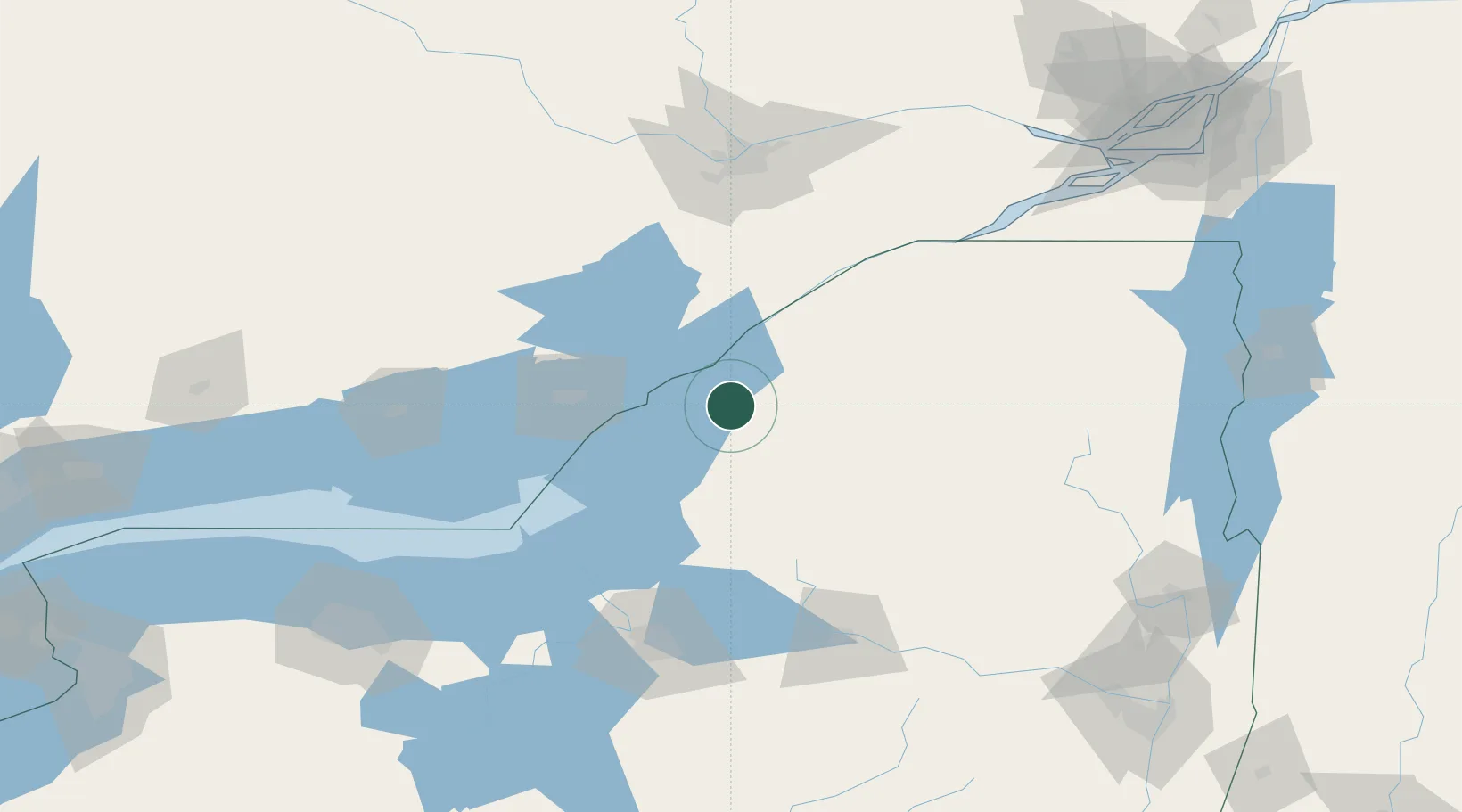
Populated place
Region
New York
Population
843
Time zone
America/New_York
Elevation
124 m
Location
Nearby Logistics Neighbours
Cities
- 1Philadelphia9 km
- 2Gouverneur28 km
- 3Carthage29 km
- 4Dexter31 km
- 5Denmark41 km
Ports
- 1Alexandria Bay17 km
- 2Clayton21 km
- 3Rockport22 km
- 4Gananoque33 km
- 5Brockville42 km
Airports
Trade Zones
- 1FTZ No. 109 Watertown27 km
- 2FTZ No. 118 Ogdensburg59 km
- 3FTZ No. 090 Onondaga105 km
- 4FTZ No. 172 Oneida County111 km
- 5FTZ No. 141 Monroe County204 km
DatabookThe Record of Consolidated Knowledge
United States beyond logistics?