UN/LOCODE hub · United States
USQCH
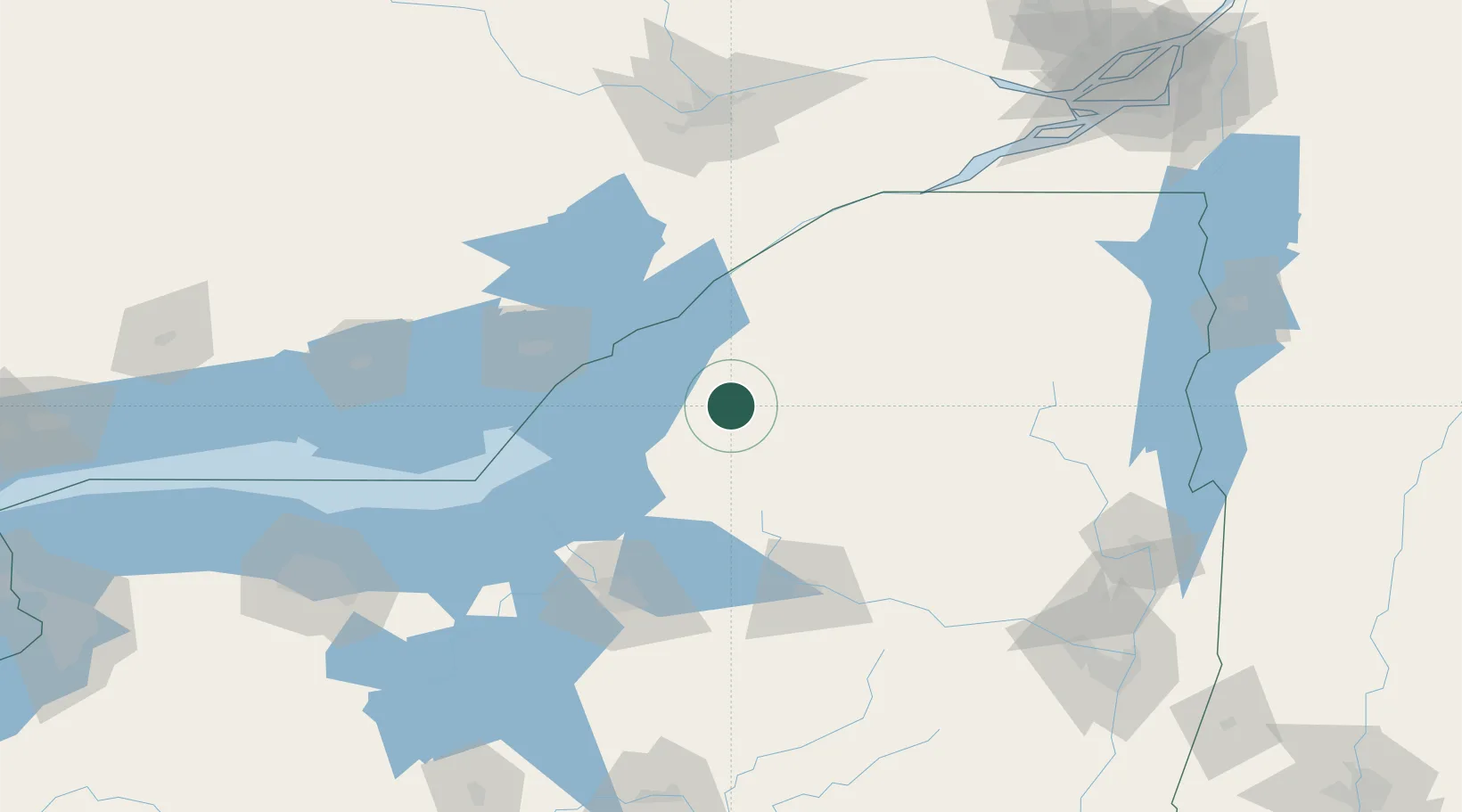
Carthage
43.9833°, -75.6167°
3,591
Population
2
Transport functions
Transport Functions
Port
Road
Hub Profile
Place type
Populated place
Region
New York
Population
3,591
Time zone
America/New_York
Elevation
234 m
Location
Nearby Logistics Neighbours
Cities
- 1Denmark12 km
- 2Castorland14 km
- 3Philadelphia20 km
- 4Theresa29 km
- 5Dexter33 km
Ports
- 1Clayton44 km
- 2Alexandria Bay46 km
- 3Rockport51 km
- 4Gananoque59 km
- 5Brockville67 km
Airports
Trade Zones
- 1FTZ No. 109 Watertown22 km
- 2FTZ No. 118 Ogdensburg81 km
- 3FTZ No. 172 Oneida County90 km
- 4FTZ No. 090 Onondaga96 km
- 5FTZ No. 121 Albany203 km
DatabookThe Record of Consolidated Knowledge
United States beyond logistics?