Transport Functions
Port
Airport
Hub Profile
Place type
Provincial seat
Region
Pennsylvania
Population
99,475
Time zone
America/New_York
Elevation
199 m
Logistics facilities
1
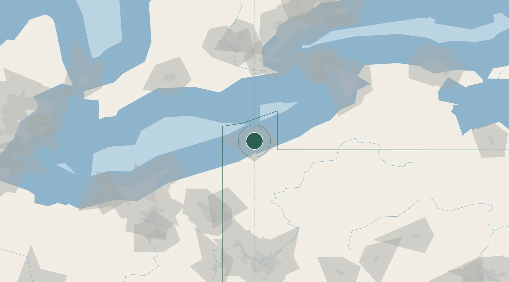
Location
Nearby Logistics Neighbours
Cities
- 1Harborcreek12 km
- 2Fairview18 km
- 3Waterford22 km
- 4Girard24 km
- 5Edinboro28 km
Ports
- 1Conneaut42 km
- 2Ashtabula64 km
- 3Dunkirk74 km
- 4Port Dover74 km
- 5Port Maitland91 km
Airports
Trade Zones
- 1FTZ No. 247 Erie2 km
- 2FTZ No. 023 Buffalo130 km
- 3FTZ No. 254 Jefferson County135 km
- 4Niagara Foreign Trade Zone137 km
- 5FTZ No. 034 Niagara County156 km
DatabookThe Record of Consolidated Knowledge
United States beyond logistics?