Transport Functions
Rail
Road
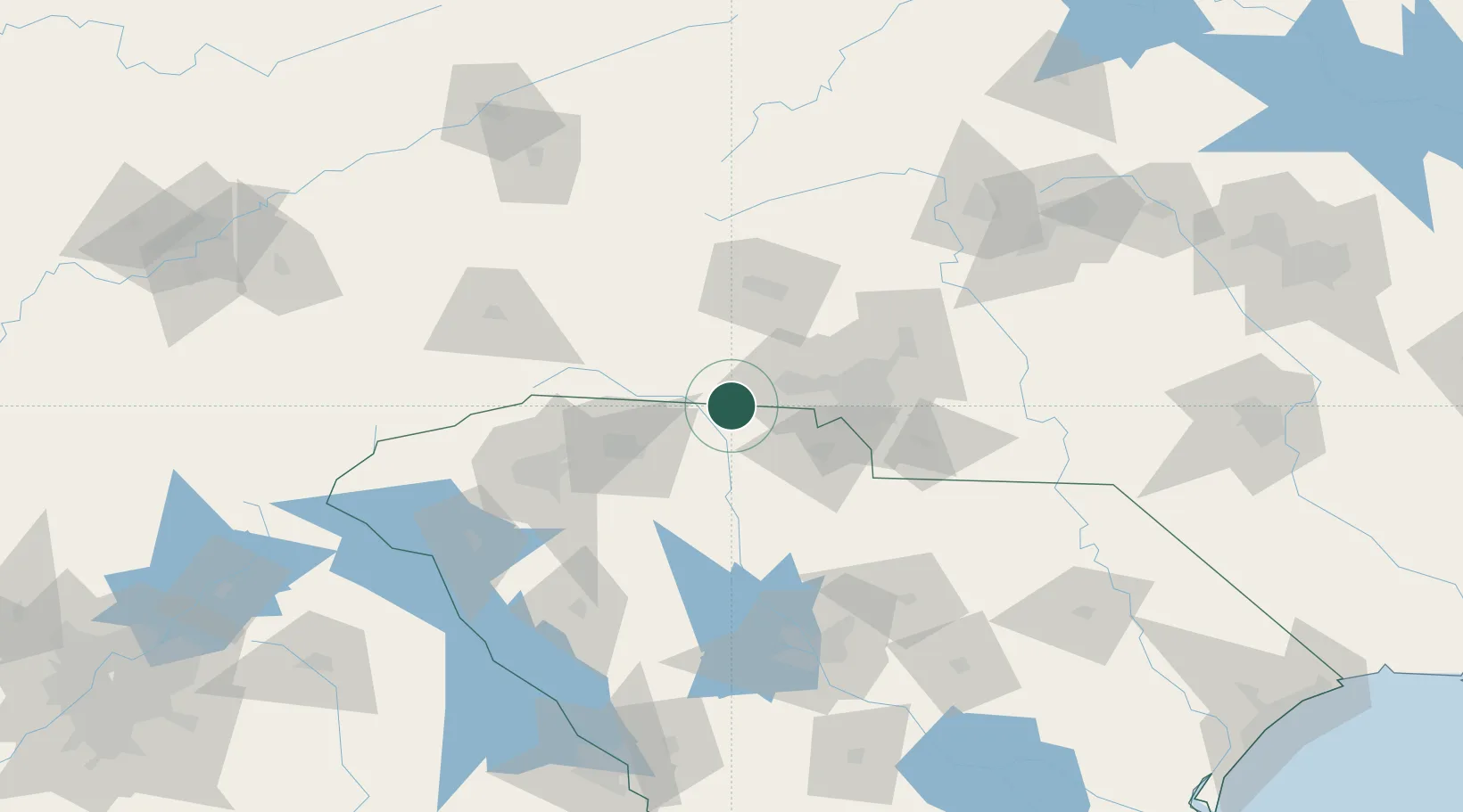
Hub Profile
Place type
Populated place
Region
North Carolina
Population
701
Time zone
America/New_York
Elevation
262 m
Location
Nearby Logistics Neighbours
Cities
- 1Earl8 km
- 2Clover21 km
- 3Hickory Grove, York21 km
- 4Mooresboro27 km
- 5Lawndale28 km
Ports
- 1Georgetown282 km
- 2Charleston300 km
- 3Beaufort312 km
- 4Port Royal319 km
- 5Wilmington336 km
Airports
Trade Zones
DatabookThe Record of Consolidated Knowledge
United States beyond logistics?