Transport Functions
Port
Rail
Road
Hub Profile
Place type
Populated place
Region
North Carolina
Population
257
Time zone
America/New_York
Elevation
254 m
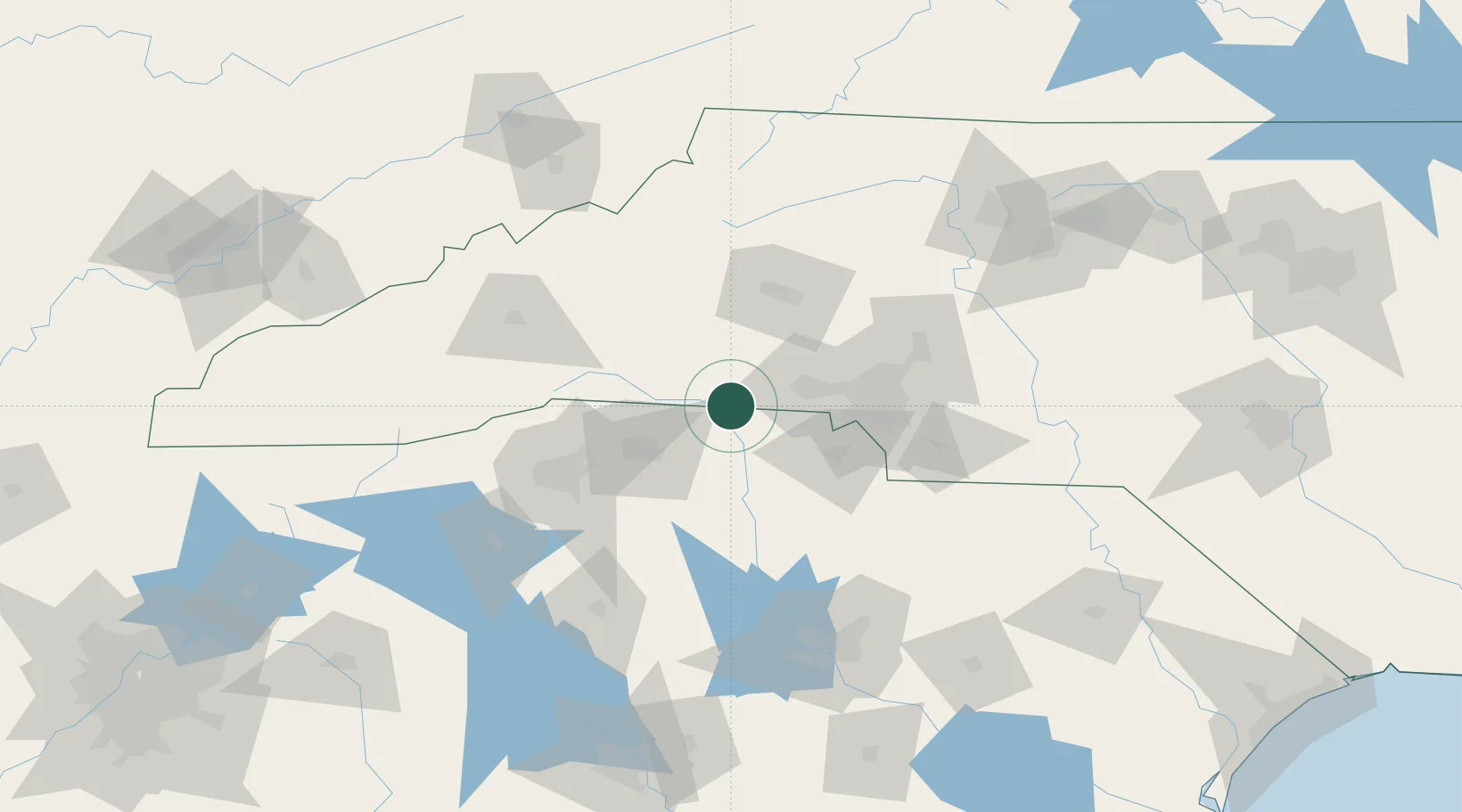
Location
Nearby Logistics Neighbours
Cities
- 1Grover8 km
- 2Mooresboro20 km
- 3Lawndale24 km
- 4Ellenboro25 km
- 5Hickory Grove, York25 km
Ports
- 1Georgetown289 km
- 2Charleston306 km
- 3Beaufort316 km
- 4Port Royal323 km
- 5Wilmington344 km
Airports
Trade Zones
DatabookThe Record of Consolidated Knowledge
United States beyond logistics?