UN/LOCODE hub · United States
USOBO
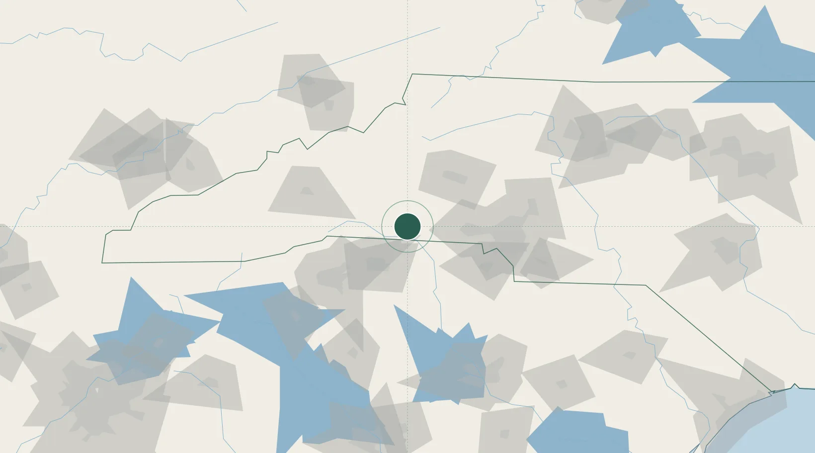
Mooresboro
35.3000°, -81.7000°
308
Population
2
Transport functions
Transport Functions
Rail
Road
Hub Profile
Place type
Populated place
Region
North Carolina
Population
308
Time zone
America/New_York
Elevation
272 m
Location
Nearby Logistics Neighbours
Ports
- 1Georgetown309 km
- 2Charleston325 km
- 3Beaufort333 km
- 4Port Royal339 km
- 5Savannah362 km
Airports
Trade Zones
DatabookThe Record of Consolidated Knowledge
United States beyond logistics?