Transport Functions
Port
Road
Hub Profile
Region
OH
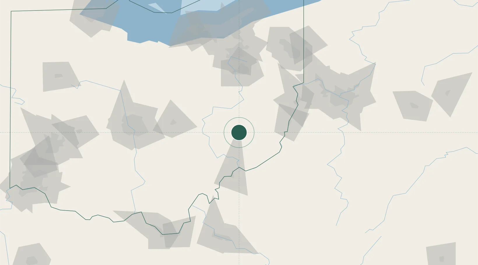
Location
Nearby Logistics Neighbours
Cities
- 1Byesville8 km
- 2Quaker City15 km
- 3New Concord24 km
- 4Dexter City30 km
- 5McDonald, Muskingum33 km
Airports
Trade Zones
- 1FTZ No. 181 Akron Canton118 km
- 2FTZ No. 138 Franklin County126 km
- 3FTZ No. 033 Pittsburgh133 km
- 4FTZ No. 229 Charleston176 km
- 5FTZ No. 040 Cleveland179 km
DatabookThe Record of Consolidated Knowledge
United States beyond logistics?