UN/LOCODE hub · United States
USQAY
Quaker City
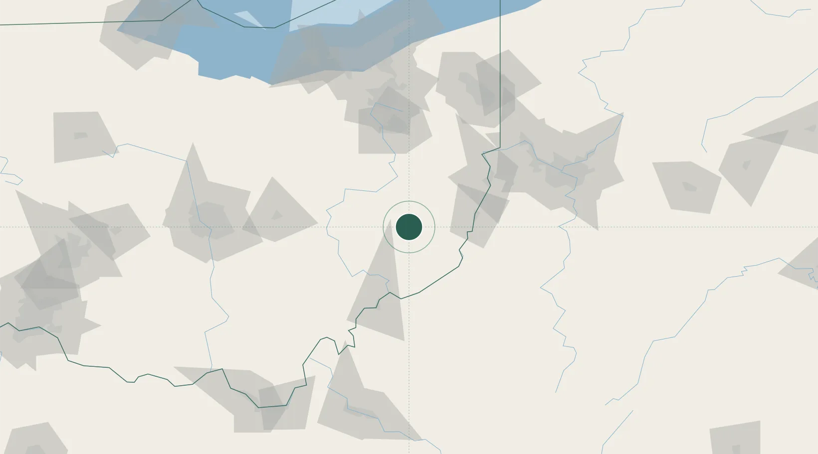
39.9667°, -81.3000°
490
Population
3
Transport functions
Transport Functions
Rail
Road
Multimodal
Hub Profile
Place type
Populated place
Region
Ohio
Population
490
Time zone
America/New_York
Elevation
260 m
Location
Nearby Logistics Neighbours
Cities
- 1Greenwood, Guernsey15 km
- 2Byesville20 km
- 3Morristown22 km
- 4Belmont24 km
- 5Brilliant32 km
Airports
Trade Zones
- 1FTZ No. 181 Akron Canton116 km
- 2FTZ No. 033 Pittsburgh118 km
- 3FTZ No. 138 Franklin County141 km
- 4FTZ No. 040 Cleveland176 km
- 5FTZ No. 229 Charleston184 km
DatabookThe Record of Consolidated Knowledge
United States beyond logistics?