Transport Functions
Rail
Road
Hub Profile
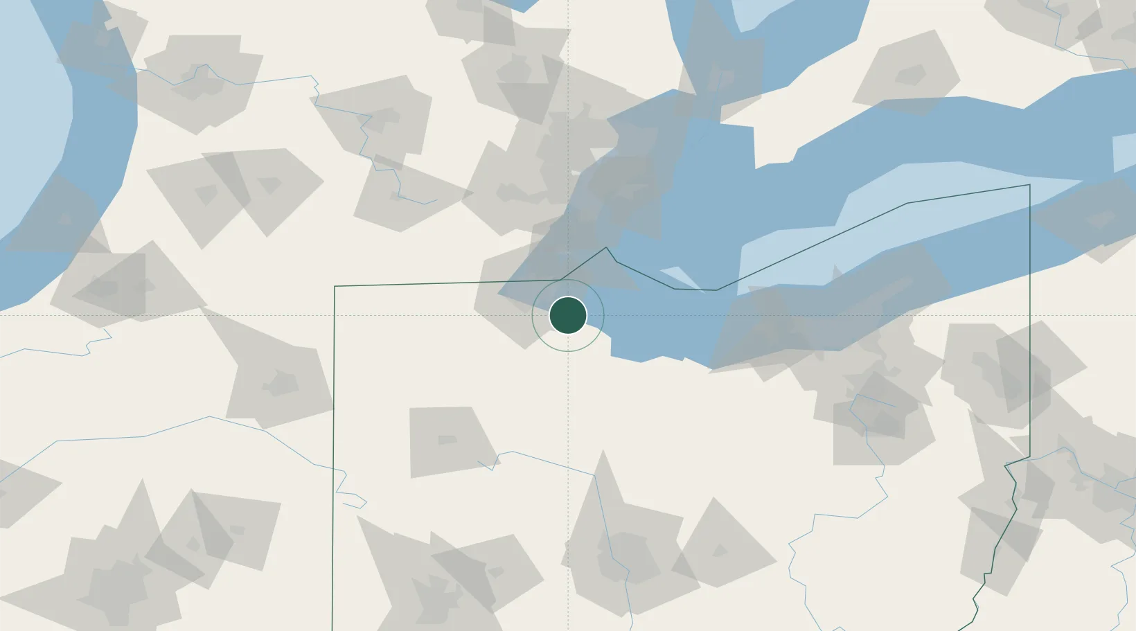
Region
OH
Location
Nearby Logistics Neighbours
Cities
- 1Elmore7 km
- 2Walbridge12 km
- 3Northwood, Wood13 km
- 4Gibsonburg15 km
- 5Oregon16 km
Ports
- 1Toledo22 km
- 2Port Clinton36 km
- 3Monroe41 km
- 4Put In Bay48 km
- 5Sandusky55 km
Airports
Trade Zones
- 1FTZ No. 008 Toledo21 km
- 2FTZ No. 151 Findlay60 km
- 3Windsor - Essex Foreign Trade Zone93 km
- 4FTZ No. 070 Detroit94 km
- 5FTZ No. 040 Cleveland127 km
DatabookThe Record of Consolidated Knowledge
United States beyond logistics?