Transport Functions
Rail
Road
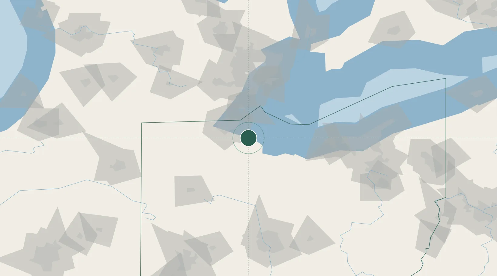
Hub Profile
Place type
Populated place
Region
Ohio
Population
1,393
Time zone
America/New_York
Elevation
184 m
Location
Nearby Logistics Neighbours
Cities
- 1Genoa, Ottawa7 km
- 2Gibsonburg11 km
- 3Walbridge19 km
- 4Northwood, Wood19 km
- 5Oregon23 km
Ports
- 1Toledo28 km
- 2Port Clinton31 km
- 3Put In Bay44 km
- 4Monroe45 km
- 5Sandusky49 km
Airports
Trade Zones
- 1FTZ No. 008 Toledo27 km
- 2FTZ No. 151 Findlay60 km
- 3Windsor - Essex Foreign Trade Zone96 km
- 4FTZ No. 070 Detroit97 km
- 5FTZ No. 040 Cleveland121 km
DatabookThe Record of Consolidated Knowledge
United States beyond logistics?