UN/LOCODE hub · United States
USGIS
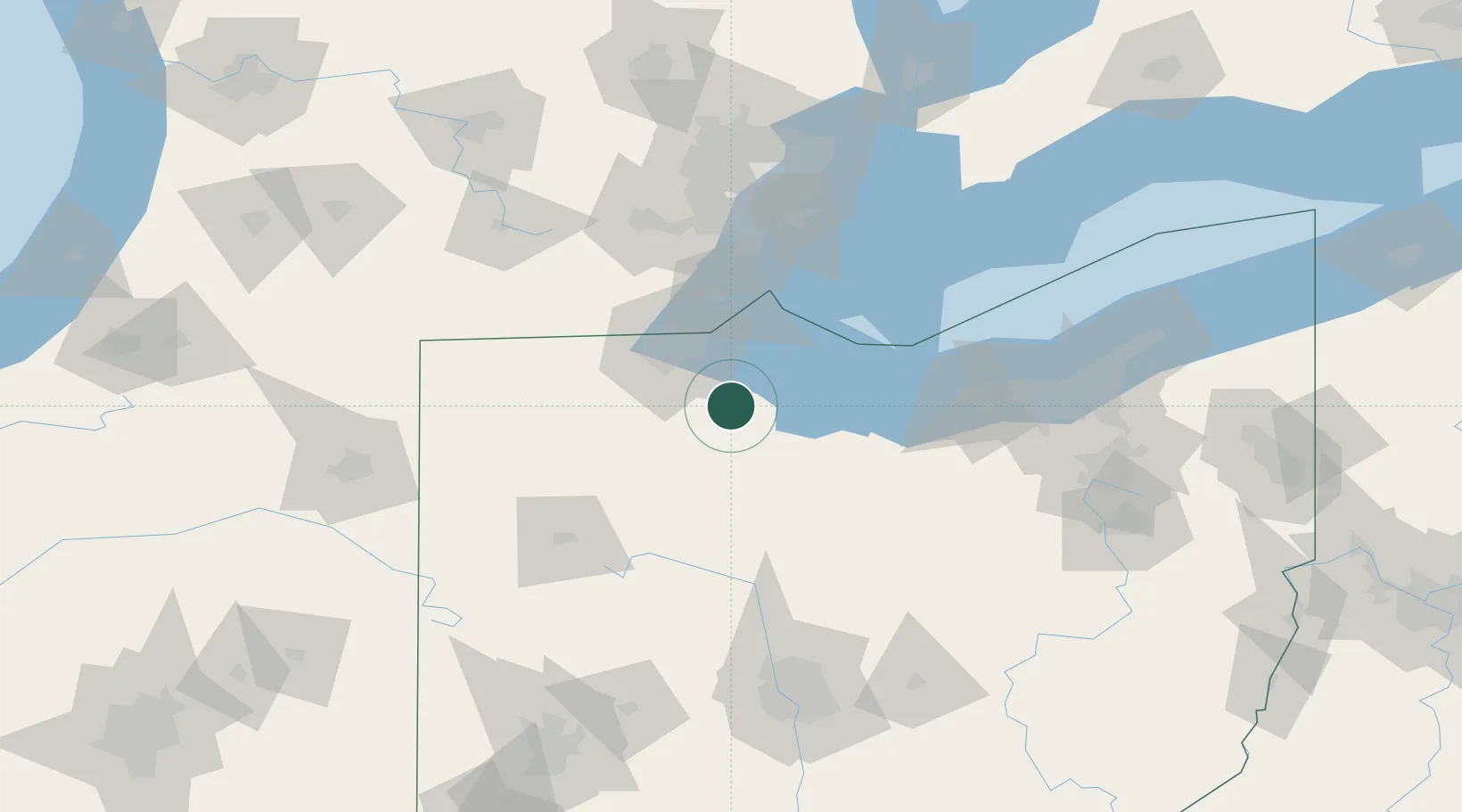
Gibsonburg
41.3833°, -83.3167°
2,564
Population
2
Transport functions
Transport Functions
Rail
Multimodal
Hub Profile
Place type
Populated place
Region
Ohio
Population
2,564
Time zone
America/New_York
Elevation
209 m
Location
Nearby Logistics Neighbours
Cities
- 1Elmore11 km
- 2Genoa, Ottawa15 km
- 3Walbridge26 km
- 4Northwood, Wood27 km
- 5Oregon31 km
Ports
- 1Port Clinton35 km
- 2Toledo37 km
- 3Sandusky51 km
- 4Put In Bay51 km
- 5Monroe56 km
Airports
Trade Zones
- 1FTZ No. 008 Toledo35 km
- 2FTZ No. 151 Findlay50 km
- 3Windsor - Essex Foreign Trade Zone107 km
- 4FTZ No. 070 Detroit108 km
- 5FTZ No. 040 Cleveland123 km
DatabookThe Record of Consolidated Knowledge
United States beyond logistics?