Transport Functions
Rail
Road
Multimodal
Hub Profile
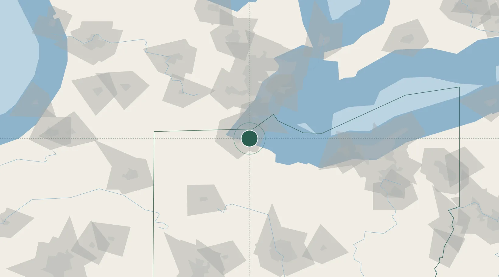
Region
OH
Location
Nearby Logistics Neighbours
Cities
- 1Walbridge2 km
- 2Oregon4 km
- 3Genoa, Ottawa13 km
- 4Toledo14 km
- 5Elmore19 km
Ports
- 1Toledo11 km
- 2Monroe33 km
- 3Port Clinton45 km
- 4Put In Bay54 km
- 5Amherstburg63 km
Airports
Trade Zones
- 1FTZ No. 008 Toledo8 km
- 2FTZ No. 151 Findlay65 km
- 3FTZ No. 070 Detroit86 km
- 4Windsor - Essex Foreign Trade Zone88 km
- 5FTZ No. 040 Cleveland135 km
DatabookThe Record of Consolidated Knowledge
United States beyond logistics?