Transport Functions
Port
Road
Multimodal
Hub Profile
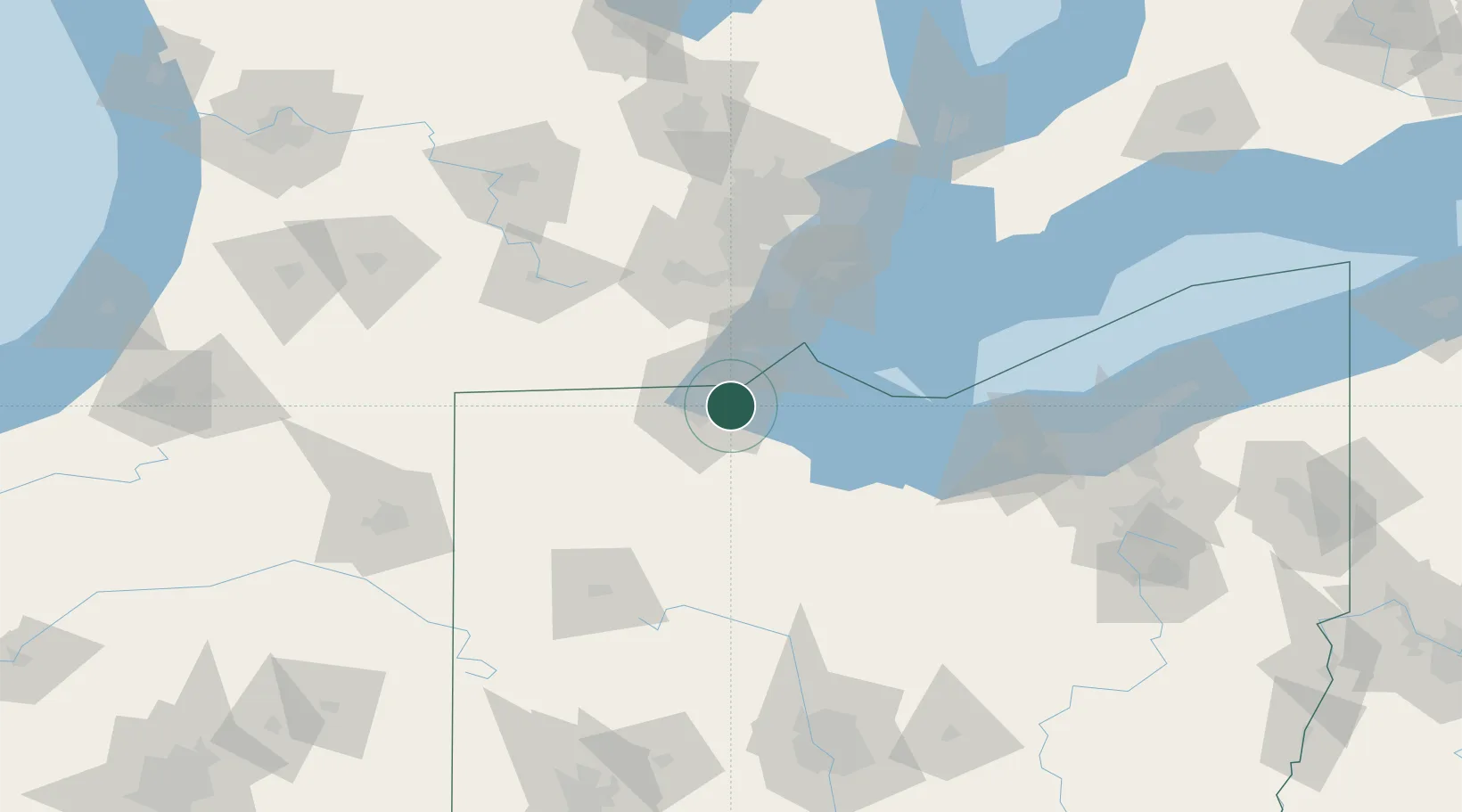
Place type
Populated place
Region
Ohio
Population
20,102
Time zone
America/New_York
Elevation
184 m
Location
Nearby Logistics Neighbours
Cities
- 1Northwood, Wood4 km
- 2Walbridge6 km
- 3Toledo13 km
- 4Genoa, Ottawa16 km
- 5Lambertville17 km
Ports
- 1Toledo8 km
- 2Monroe31 km
- 3Port Clinton48 km
- 4Put In Bay55 km
- 5Amherstburg61 km
Airports
Trade Zones
- 1FTZ No. 008 Toledo5 km
- 2FTZ No. 151 Findlay68 km
- 3FTZ No. 070 Detroit83 km
- 4Windsor - Essex Foreign Trade Zone85 km
- 5FTZ No. 040 Cleveland137 km
DatabookThe Record of Consolidated Knowledge
United States beyond logistics?